Ripley night lights from space
Night Light of Ripley (Tennessee) from space (United States) Src. Average luminocity for 10x10km area is 37.1836% and for 50x50km: 6.7146%.
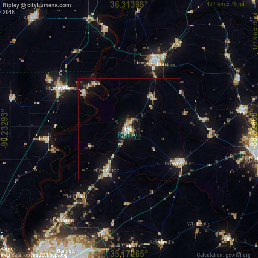
Analysis of Ripley night lights 2016
Square area 10x10 km:
 4.02%
4.02%90-99
5.24%80-89
6.12%70-79
6.64%60-69
5.24%50-59
5.24%40-49
8.74%30-39
1.92%20-29
3.85%10-19
41.43%0-9
11.54%Square area 50x50 km:
0.64%90-99
0.95%80-89
1.15%70-79
0.78%60-69
0.63%50-59
0.75%40-49
0.87%30-39
1.04%20-29
0.87%10-19
6.46%0-9
85.86%Clear (daylight) street map image can be seen on geolist.org.
Map coordinates:
36° 18' 50.3" North, 90° 13' 58.5" West
35° 44' 43.3" North, 89° 31' 47.3" West
35° 10' 21.5" North, 88° 49' 36" West
Some cities around Ripley sort by population:
• Dyersburg
34.7 km =21.6 mi,  21°
21°
• Blytheville
40.5 km =25.2 mi,  299°
299°
• Brownsville
29.4 km =18.3 mi,  124°
124°
• Atoka
40.6 km =25.2 mi,  213°
213°
• Covington
22.7 km =14.1 mi, 207°
• Osceola
39.9 km =24.8 mi,  263°
263°
• Munford
41.8 km =26 mi,  218°
218°
• Caruthersville
51.1 km =31.8 mi,  347°
347°
4653228 (p: 8,176)
Sources (retrieved 2019-11-25):
» Earth at Night: Flat Maps 2012, 2016