Munford night lights from space
Night Light of Munford (Tennessee) from space (United States) Src. Average luminocity for 10x10km area is 27.0586% and for 50x50km: 14.8551%.
Analysis of Munford night lights 2016
Square area 10x10 km:
 0.37%
0.37%90-99
3.3%80-89
3.85%70-79
5.13%60-69
2.56%50-59
7.69%40-49
3.85%30-39
5.13%20-29
5.13%10-19
31.87%0-9
31.14%Square area 50x50 km:
1.03%90-99
1.88%80-89
2.34%70-79
1.78%60-69
2.38%50-59
2.32%40-49
2.32%30-39
3.14%20-29
4.91%10-19
10.9%0-9
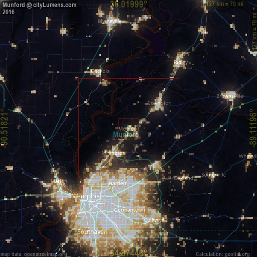
67%Clear (daylight) street map image can be seen on geolist.org.
Map coordinates:
36° 1' 12" North, 90° 31' 5.6" West
35° 26' 57.3" North, 89° 48' 54.3" West
34° 52' 27.9" North, 89° 6' 43.1" West
Some cities around Munford sort by population:
• Bartlett
27.7 km =17.2 mi,  191°
191°
• Lakeland
25.2 km =15.7 mi,  164°
164°
• Arlington
22 km =13.7 mi,  140°
140°
• Millington
14.1 km =8.8 mi,  211°
211°
• Atoka
3.5 km =2.2 mi,  104°
104°
• Covington
19.9 km =12.4 mi,  50°
50°
• Oakland
36.6 km =22.7 mi,  131°
131°
• Osceola
31.7 km =19.7 mi,  333°
333°
4644282 (p: 6,108)
Sources (retrieved 2019-11-25):
» Earth at Night: Flat Maps 2012, 2016