Reedsburg night lights from space
Night Light of Reedsburg (Wisconsin) from space (United States) Src. Average luminocity for 10x10km area is 16.8746% and for 50x50km: 3.7892%.
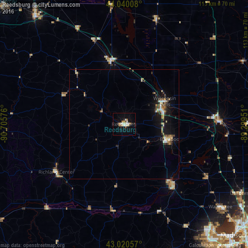
Analysis of Reedsburg night lights 2016
Square area 10x10 km:
 2.7%
2.7%90-99
3.49%80-89
2.38%70-79
2.22%60-69
0.95%50-59
2.06%40-49
0.16%30-39
1.27%20-29
2.54%10-19
8.1%0-9
74.13%Square area 50x50 km:
0.4%90-99
0.43%80-89
0.62%70-79
0.48%60-69
0.31%50-59
0.34%40-49
0.61%30-39
0.5%20-29
0.7%10-19
3.42%0-9
92.19%Clear (daylight) street map image can be seen on geolist.org.
Map coordinates:
44° 2' 24.3" North, 90° 42' 20.7" West
43° 31' 56.9" North, 90° 0' 9.5" West
43° 1' 14.1" North, 89° 17' 58.2" West
Some cities around Reedsburg sort by population:
• Middleton
63 km =39.1 mi,  140°
140°
• Waunakee
58.2 km =36.2 mi,  130°
130°
• Baraboo
21.9 km =13.6 mi,  108°
108°
• Portage
43.5 km =27 mi,  89°
89°
• Tomah
63.9 km =39.7 mi,  320°
320°
• De Forest
61.9 km =38.5 mi,  120°
120°
• Mount Horeb
62.1 km =38.6 mi,  159°
159°
• Richland Center
38 km =23.6 mi,  234°
234°
5268570 (p: 9,548)
Sources (retrieved 2019-11-25):
» Earth at Night: Flat Maps 2012, 2016