Tomah night lights from space
Night Light of Tomah (Wisconsin) from space (United States) Src. Average luminocity for 10x10km area is 21.6143% and for 50x50km: 2.5739%.
Analysis of Tomah night lights 2016
Square area 10x10 km:
 1.27%
1.27%90-99
3.17%80-89
4.76%70-79
2.86%60-69
3.33%50-59
2.38%40-49
1.9%30-39
1.59%20-29
4.76%10-19
17.94%0-9
56.03%Square area 50x50 km:
0.15%90-99
0.22%80-89
0.51%70-79
0.37%60-69
0.35%50-59
0.36%40-49
0.36%30-39
0.3%20-29
0.53%10-19
1.12%0-9
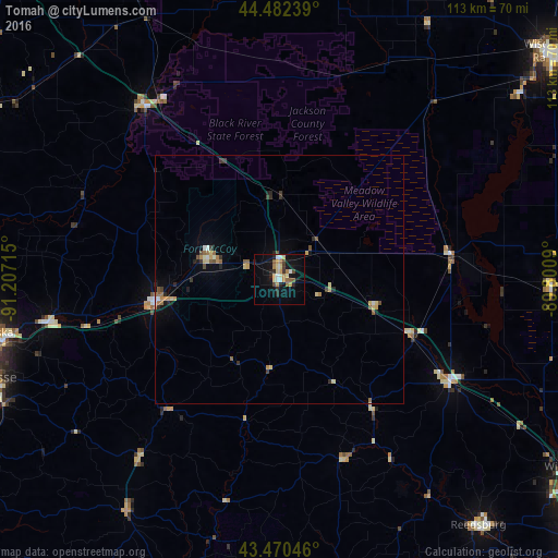
95.73%Clear (daylight) street map image can be seen on geolist.org.
Map coordinates:
44° 28' 56.6" North, 91° 12' 25.7" West
43° 58' 42.9" North, 90° 30' 14.5" West
43° 28' 13.7" North, 89° 48' 3.2" West
Some cities around Tomah sort by population:
• La Crosse
62.1 km =38.6 mi,  251°
251°
• North La Crosse
61.4 km =38.2 mi,  256°
256°
• Onalaska
59.5 km =37 mi, 259°
• Wisconsin Rapids
70.9 km =44.1 mi,  50°
50°
• Sparta
25 km =15.5 mi, 261°
• Holmen
60.2 km =37.4 mi,  268°
268°
• Reedsburg
63.9 km =39.7 mi,  140°
140°
• West Salem
47.1 km =29.3 mi, 259°
5275871 (p: 9,357)
Sources (retrieved 2019-11-25):
» Earth at Night: Flat Maps 2012, 2016