Redlands night lights from space
Night Light of Redlands (Colorado) from space (United States) Src. Average luminocity for 10x10km area is 37.4383% and for 50x50km: 6.1161%.
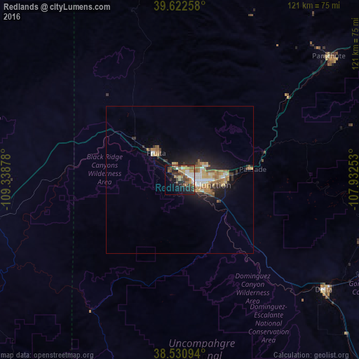
Analysis of Redlands night lights 2016
Square area 10x10 km:
 5.68%
5.68%90-99
4.06%80-89
3.73%70-79
6.01%60-69
7.14%50-59
6.49%40-49
8.6%30-39
7.63%20-29
8.44%10-19
17.21%0-9
25%Square area 50x50 km:
0.77%90-99
0.69%80-89
0.82%70-79
0.69%60-69
1.33%50-59
1.11%40-49
0.6%30-39
0.93%20-29
1.53%10-19
4.02%0-9
87.51%Clear (daylight) street map image can be seen on geolist.org.
Map coordinates:
39° 37' 21.3" North, 109° 20' 19.6" West
39° 4' 43.9" North, 108° 38' 8.3" West
38° 31' 51.4" North, 107° 55' 57.1" West
Some cities around Redlands sort by population:
• Grand Junction
7.5 km =4.7 mi,  102°
102°
• Clifton
16.2 km =10.1 mi,  84°
84°
• Montrose
93.8 km =58.3 mi,  135°
135°
• Fruita
12 km =7.5 mi,  317°
317°
• Rifle
89.2 km =55.4 mi,  55°
55°
• Delta
61.7 km =38.3 mi,  127°
127°
• Fruitvale
12 km =7.5 mi,  88°
88°
• Orchard Mesa
8.2 km =5.1 mi,  118°
118°
5436099 (p: 8,685)
Sources (retrieved 2019-11-25):
» Earth at Night: Flat Maps 2012, 2016