Grand Junction night lights from space
Night Light of Grand Junction (Colorado) from space (United States) Src. Average luminocity for 10x10km area is 62.8409% and for 50x50km: 6.1529%.
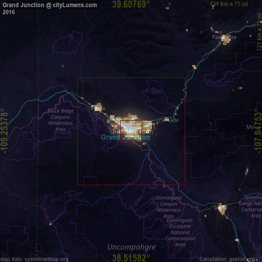
Analysis of Grand Junction night lights 2016
Square area 10x10 km:
 14.29%
90-99
12.5%80-89
9.25%70-79
8.6%60-69
12.34%50-59
10.06%40-49
5.19%30-39
5.84%20-29
10.88%10-19
10.55%0-9
0.49%Square area 50x50 km:
0.77%90-99
0.69%80-89
0.82%70-79
0.69%60-69
1.33%50-59
1.12%40-49
0.65%30-39
0.93%20-29
1.53%10-19
4.05%0-9
87.43%Clear (daylight) street map image can be seen on geolist.org.
Map coordinates:
39° 36' 27.7" North, 109° 15' 13.6" West
39° 3' 49.9" North, 108° 33' 2.3" West
38° 30' 57" North, 107° 50' 51.1" West
Some cities around Grand Junction sort by population:
• Clifton
9.3 km =5.8 mi,  70°
70°
• Montrose
87.5 km =54.4 mi,  138°
138°
• Fruita
18.7 km =11.6 mi,  304°
304°
• Rifle
84.3 km =52.4 mi,  51°
51°
• Delta
54.9 km =34.1 mi,  130°
130°
• Redlands
7.5 km =4.7 mi,  282°
282°
• Fruitvale
5.1 km =3.2 mi, 66°
• Orchard Mesa
2.3 km =1.4 mi,  183°
183°
5423573 (p: 60,358)
Sources (retrieved 2019-11-25):
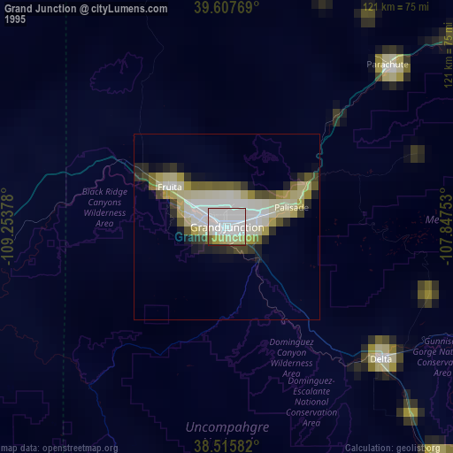
» NASA, Earths city lights 1995
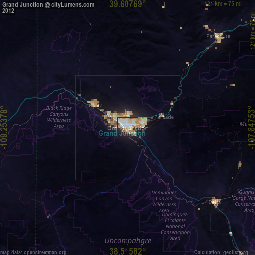
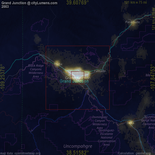
» NASA city lights 2003
» Earth at Night: Flat Maps 2012, 2016