Clifton night lights from space
Night Light of Clifton (Colorado) from space (United States) Src. Average luminocity for 10x10km area is 29.8669% and for 50x50km: 6.004%.
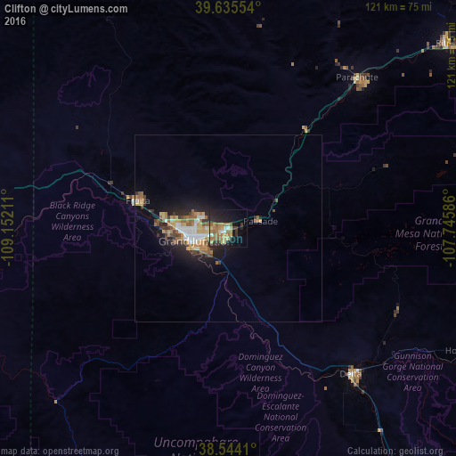
Analysis of Clifton night lights 2016
Square area 10x10 km:
 1.3%
1.3%90-99
2.27%80-89
6.82%70-79
1.79%60-69
10.55%50-59
6.17%40-49
0.81%30-39
4.87%20-29
10.55%10-19
22.24%0-9
32.63%Square area 50x50 km:
0.75%90-99
0.69%80-89
0.82%70-79
0.65%60-69
1.32%50-59
1.12%40-49
0.63%30-39
0.85%20-29
1.51%10-19
4%0-9
87.65%Clear (daylight) street map image can be seen on geolist.org.
Map coordinates:
39° 38' 7.9" North, 109° 9' 7.6" West
39° 5' 30.9" North, 108° 26' 56.3" West
38° 32' 38.8" North, 107° 44' 45.1" West
Some cities around Clifton sort by population:
• Grand Junction
9.3 km =5.8 mi,  250°
250°
• Montrose
84.4 km =52.4 mi,  143°
143°
• Fruita
25.3 km =15.7 mi,  287°
287°
• Rifle
75.5 km =46.9 mi,  49°
49°
• Delta
50.9 km =31.6 mi, 139°
• Redlands
16.2 km =10.1 mi,  264°
264°
• Fruitvale
4.3 km =2.7 mi, 254°
• Orchard Mesa
10.4 km =6.5 mi,  238°
238°
5417258 (p: 19,889)
Sources (retrieved 2019-11-25):
» Earth at Night: Flat Maps 2012, 2016