Howard Beach night lights from space
Night Light of Howard Beach (New York) from space (United States) Src. Average luminocity for 10x10km area is 84.3263% and for 50x50km: 62.8923%.
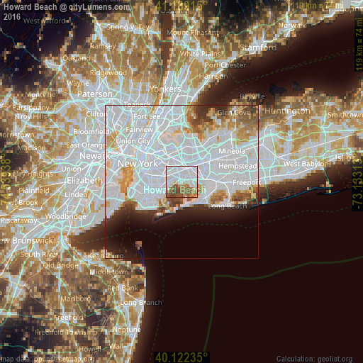
Analysis of Howard Beach night lights 2016
Square area 10x10 km:
 51.62%
90-99
11.36%80-89
1.95%70-79
4.22%60-69
13.15%50-59
6.33%40-49
9.58%30-39
1.79%20-29
0%10-19
0%0-9
0%Square area 50x50 km:
36.78%90-99
12.71%80-89
3.62%70-79
3.98%60-69
3.52%50-59
2.78%40-49
2.49%30-39
2.24%20-29
3.81%10-19
5.28%0-9
22.78%Clear (daylight) street map image can be seen on geolist.org.
Map coordinates:
41° 11' 20.9" North, 74° 32' 21.8" West
40° 39' 28.4" North, 73° 50' 10.5" West
40° 7' 20.5" North, 73° 7' 59.3" West
Some cities around Howard Beach sort by population:
• Queens
2.6 km =1.6 mi,  359°
359°
• Jamaica
4.5 km =2.8 mi,  34°
34°
• East New York
4 km =2.5 mi,  284°
284°
• Richmond Hill
4.7 km =2.9 mi,  5°
5°
• Canarsie
5.7 km =3.5 mi,  253°
253°
• Cypress Hills
5.1 km =3.2 mi,  294°
294°
• Ozone Park
2.2 km =1.4 mi,  343°
343°
• Woodhaven
3.9 km =2.4 mi,  332°
332°
5121407 (p: 26,148)
Sources (retrieved 2019-11-25):
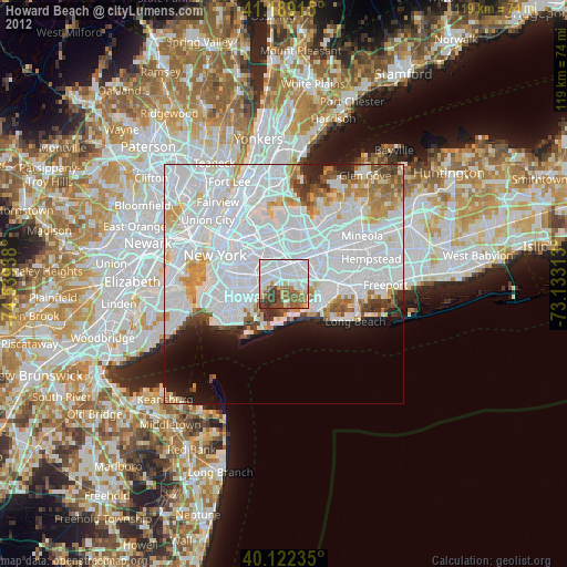
» Earth at Night: Flat Maps 2012, 2016