Portsmouth night lights from space
Night Light of Portsmouth (New Hampshire) from space (United States) Src. Average luminocity for 10x10km area is 52.8968% and for 50x50km: 11.7373%.
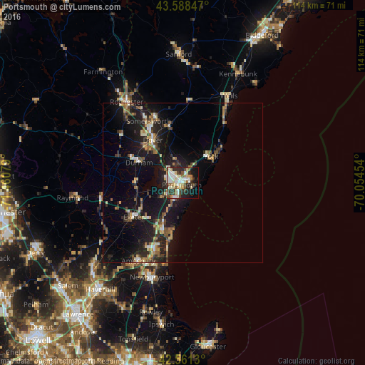
Analysis of Portsmouth night lights 2016
Square area 10x10 km:
 11.27%
90-99
14.76%80-89
8.73%70-79
3.17%60-69
5.56%50-59
4.6%40-49
6.03%30-39
9.21%20-29
11.75%10-19
16.19%0-9
8.73%Square area 50x50 km:
0.99%90-99
1.65%80-89
1.44%70-79
1.22%60-69
1.43%50-59
1.64%40-49
1.66%30-39
1.82%20-29
3.97%10-19
12.31%0-9
71.86%Clear (daylight) street map image can be seen on geolist.org.
Map coordinates:
43° 35' 18.5" North, 71° 27' 38.8" West
43° 4' 37.3" North, 70° 45' 27.6" West
42° 33' 40.7" North, 70° 3' 16.3" West
Some cities around Portsmouth sort by population:
• Dover
16.4 km =10.2 mi,  324°
324°
• York Beach
16 km =9.9 mi,  48°
48°
• Durham
15.1 km =9.4 mi,  294°
294°
• Hampton
16.9 km =10.5 mi,  203°
203°
• Stratham Station
11.5 km =7.1 mi,  256°
256°
• Eliot
9.1 km =5.7 mi,  337°
337°
• Newmarket
14.4 km =8.9 mi,  272°
272°
• Rye
7.2 km =4.5 mi,  188°
188°
5091383 (p: 21,530)
Sources (retrieved 2019-11-25):
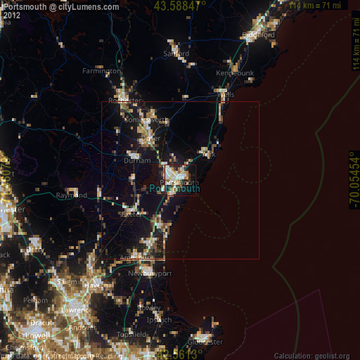
» Earth at Night: Flat Maps 2012, 2016