Dover night lights from space
Night Light of Dover (New Hampshire) from space (United States) Src. Average luminocity for 10x10km area is 35.697% and for 50x50km: 10.8966%.
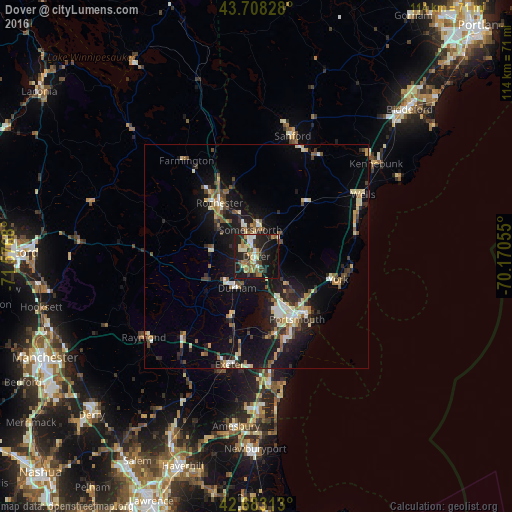
Analysis of Dover night lights 2016
Square area 10x10 km:
 2.73%
2.73%90-99
5.91%80-89
4.85%70-79
4.7%60-69
6.36%50-59
4.39%40-49
5.15%30-39
4.7%20-29
12.42%10-19
38.18%0-9
10.61%Square area 50x50 km:
0.93%90-99
1.67%80-89
1.38%70-79
1.11%60-69
1.33%50-59
1.39%40-49
1.71%30-39
1.36%20-29
2.99%10-19
10.54%0-9
75.59%Clear (daylight) street map image can be seen on geolist.org.
Map coordinates:
43° 42' 29.8" North, 71° 34' 36.5" West
43° 11' 52.3" North, 70° 52' 25.2" West
42° 40' 59.3" North, 70° 10' 14" West
Some cities around Dover sort by population:
• Rochester
14.5 km =9 mi,  325°
325°
• Somersworth
7.1 km =4.4 mi,  5°
5°
• Durham
8.3 km =5.2 mi,  211°
211°
• Barrington
14.3 km =8.9 mi,  281°
281°
• South Berwick
6.6 km =4.1 mi,  51°
51°
• Stratham Station
16.2 km =10.1 mi,  186°
186°
• Eliot
7.8 km =4.8 mi,  129°
129°
• Newmarket
13.7 km =8.5 mi,  201°
201°
5085520 (p: 30,880)
Sources (retrieved 2019-11-25):
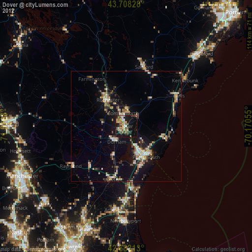
» Earth at Night: Flat Maps 2012, 2016