Newmarket night lights from space
Night Light of Newmarket (New Hampshire) from space (United States) Src. Average luminocity for 10x10km area is 7.8364% and for 50x50km: 12.3278%.
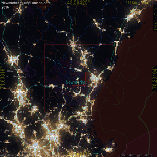
Analysis of Newmarket night lights 2016
Square area 10x10 km:
 0%
0%90-99
0.3%80-89
0.91%70-79
0.61%60-69
1.21%50-59
0.61%40-49
0.61%30-39
0.45%20-29
1.36%10-19
4.24%0-9
89.7%Square area 50x50 km:
1.03%90-99
1.78%80-89
1.43%70-79
1.3%60-69
1.56%50-59
1.65%40-49
1.75%30-39
1.83%20-29
4.2%10-19
12.81%0-9
70.68%Clear (daylight) street map image can be seen on geolist.org.
Map coordinates:
43° 35' 39.3" North, 71° 38' 17.5" West
43° 4' 58.3" North, 70° 56' 6.2" West
42° 34' 1.8" North, 70° 13' 55" West
Some cities around Newmarket sort by population:
• Dover
13.7 km =8.5 mi,  21°
21°
• Portsmouth
14.4 km =8.9 mi,  92°
92°
• Durham
5.7 km =3.5 mi,  7°
7°
• Hampton
17.9 km =11.1 mi,  154°
154°
• Exeter
11.3 km =7 mi,  185°
185°
• Stratham Station
4.6 km =2.9 mi,  135°
135°
• Eliot
13.5 km =8.4 mi,  54°
54°
• Rye
15.4 km =9.6 mi,  120°
120°
5090246 (p: 5,297)
Sources (retrieved 2019-11-25):
» Earth at Night: Flat Maps 2012, 2016