Port Huron night lights from space
Night Light of Port Huron (Michigan) from space (United States) Src. Average luminocity for 10x10km area is 82.0968% and for 50x50km: 11.539%.
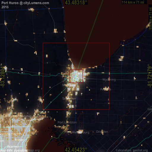
Analysis of Port Huron night lights 2016
Square area 10x10 km:
 26.19%
90-99
26.19%80-89
11.43%70-79
5.56%60-69
9.84%50-59
12.38%40-49
5.08%30-39
3.17%20-29
0.16%10-19
0%0-9
0%Square area 50x50 km:
1.86%90-99
2.25%80-89
1.41%70-79
0.83%60-69
1.69%50-59
1.84%40-49
1.66%30-39
1.68%20-29
3.33%10-19
5.97%0-9
77.47%Clear (daylight) street map image can be seen on geolist.org.
Map coordinates:
43° 28' 59.4" North, 83° 7' 40.9" West
42° 58' 15.1" North, 82° 25' 29.7" West
42° 27' 15.2" North, 81° 43' 18.4" West
Some cities around Port Huron sort by population:
• Sarnia, CA
1.9 km =1.2 mi,  62°
62°
• New Baltimore
41 km =25.5 mi,  218°
218°
• Marysville
8.2 km =5.1 mi, 217°
• Camlachie, CA
22.6 km =14 mi,  71°
71°
• Richmond
32.4 km =20.1 mi,  236°
236°
• Corunna, CA
9.7 km =6 mi,  183°
183°
• Saint Clair
17.4 km =10.8 mi,  196°
196°
• Petrolia, CA
25.2 km =15.7 mi,  117°
117°
5006233 (p: 29,330)
Sources (retrieved 2019-11-25):
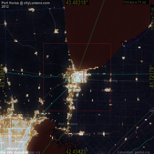
» Earth at Night: Flat Maps 2012, 2016