Sarnia night lights from space
Night Light of Sarnia (Ontario) from space (Canada) Src. Average luminocity for 10x10km area is 83.3333% and for 50x50km: 11.4468%.
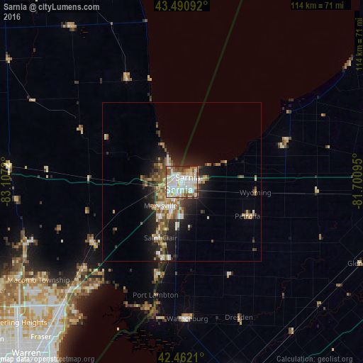
Analysis of Sarnia night lights 2016
Square area 10x10 km:
 28.57%
90-99
29.84%80-89
9.37%70-79
5.87%60-69
9.05%50-59
7.78%40-49
3.17%30-39
5.24%20-29
1.11%10-19
0%0-9
0%Square area 50x50 km:
1.86%90-99
2.24%80-89
1.4%70-79
0.84%60-69
1.7%50-59
1.85%40-49
1.65%30-39
1.7%20-29
3.24%10-19
5.75%0-9
77.77%Clear (daylight) street map image can be seen on geolist.org.
Map coordinates:
43° 29' 27.3" North, 83° 6' 25.9" West
42° 58' 43.2" North, 82° 24' 14.7" West
42° 27' 43.6" North, 81° 42' 3.4" West
Some cities around Sarnia sort by population:
• Port Huron, US
1.9 km =1.2 mi,  242°
242°
• New Baltimore, US
42.8 km =26.6 mi,  219°
219°
• Marysville, US
10 km =6.2 mi, 222°
• Camlachie
20.7 km =12.9 mi,  72°
72°
• Richmond, US
34.3 km =21.3 mi, 236°
• Corunna
10.9 km =6.8 mi,  192°
192°
• Saint Clair, US
18.8 km =11.7 mi,  200°
200°
• Petrolia
24.2 km =15 mi,  121°
121°
6141190 (p: 72,125)
Sources (retrieved 2019-11-25):
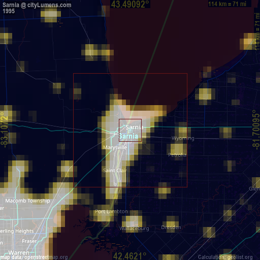
» NASA, Earths city lights 1995
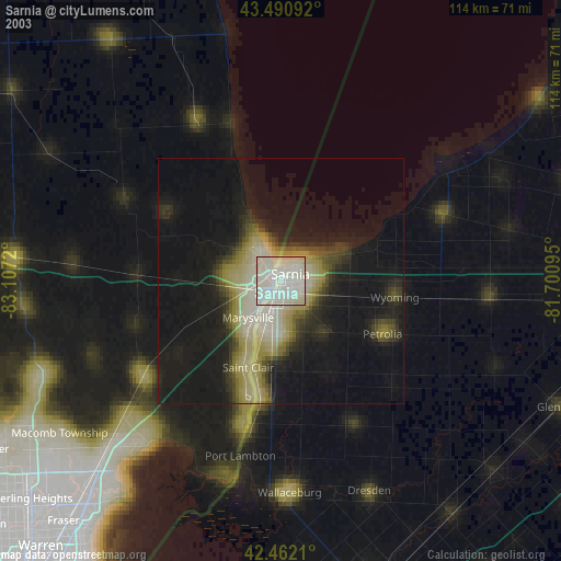
» NASA city lights 2003
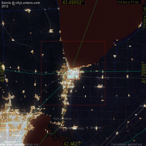
» Earth at Night: Flat Maps 2012, 2016