Port Charlotte night lights from space
Night Light of Port Charlotte (Florida) from space (United States) Src. Average luminocity for 10x10km area is 62.0774% and for 50x50km: 20.2879%.
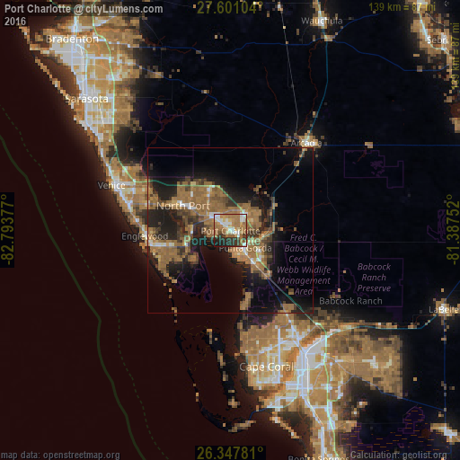

Analysis of Port Charlotte night lights 2016
Square area 10x10 km:
 7.94%
7.94%90-99
11.71%80-89
6.35%70-79
8.73%60-69
26.59%50-59
10.12%40-49
3.97%30-39
9.92%20-29
10.71%10-19
3.97%0-9
0%Square area 50x50 km:
0.91%90-99
1.3%80-89
0.95%70-79
1.68%60-69
9.28%50-59
5.87%40-49
2.76%30-39
4.42%20-29
5.99%10-19
12.51%0-9
54.35%Clear (daylight) street map image can be seen on geolist.org.
Map coordinates:
27° 36' 3.7" North, 82° 47' 37.6" West
26° 58' 34.2" North, 82° 5' 26.3" West
26° 20' 52.1" North, 81° 23' 15.1" West
Some cities around Port Charlotte sort by population:
• North Port
16.3 km =10.1 mi,  297°
297°
• Punta Gorda Isles
6.6 km =4.1 mi,  169°
169°
• Punta Gorda
6.8 km =4.2 mi,  138°
138°
• Englewood
26 km =16.2 mi,  266°
266°
• Rotonda West
22.3 km =13.9 mi,  242°
242°
• Venice Gardens
33.2 km =20.6 mi,  288°
288°
• Southeast Arcadia
33.2 km =20.6 mi,  45°
45°
• Warm Mineral Springs
19.2 km =11.9 mi, 298°
4169130 (p: 54,392)
Sources (retrieved 2019-11-25):
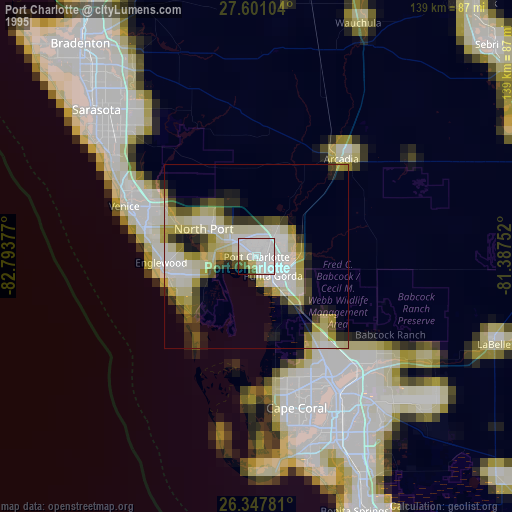
» NASA, Earths city lights 1995
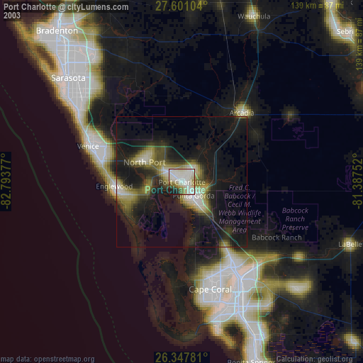
» NASA city lights 2003
» Earth at Night: Flat Maps 2012, 2016