Englewood night lights from space
Night Light of Englewood (Florida) from space (United States) Src. Average luminocity for 10x10km area is 43.8631% and for 50x50km: 18.6586%.
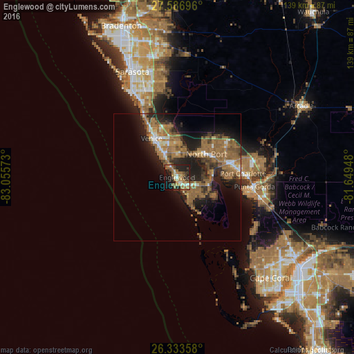
Analysis of Englewood night lights 2016
Square area 10x10 km:
 2.98%
2.98%90-99
5.56%80-89
4.56%70-79
6.35%60-69
17.86%50-59
6.35%40-49
4.76%30-39
4.96%20-29
20.83%10-19
21.03%0-9
4.76%Square area 50x50 km:
1.11%90-99
1.66%80-89
1.2%70-79
1.78%60-69
8.1%50-59
4.93%40-49
2.6%30-39
3.02%20-29
6.07%10-19
10.53%0-9
58.99%Clear (daylight) street map image can be seen on geolist.org.
Map coordinates:
27° 35' 13.1" North, 83° 3' 20.6" West
26° 57' 43.2" North, 82° 21' 9.4" West
26° 20' 0.9" North, 81° 38' 58.1" West
Some cities around Englewood sort by population:
• North Port
14.7 km =9.1 mi,  51°
51°
• Port Charlotte
26 km =16.2 mi,  86°
86°
• Venice
18.3 km =11.4 mi,  326°
326°
• South Venice
12.4 km =7.7 mi,  324°
324°
• Rotonda West
10.7 km =6.6 mi,  144°
144°
• Laurel
22.9 km =14.2 mi, 331°
• Venice Gardens
13.5 km =8.4 mi,  336°
336°
• Warm Mineral Springs
14.2 km =8.8 mi,  40°
40°
4154465 (p: 14,863)
Sources (retrieved 2019-11-25):
» Earth at Night: Flat Maps 2012, 2016