Pontiac night lights from space
Night Light of Pontiac (Illinois) from space (United States) Src. Average luminocity for 10x10km area is 25.1616% and for 50x50km: 2.4671%.
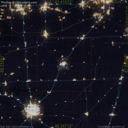
Analysis of Pontiac night lights 2016
Square area 10x10 km:
 2.72%
2.72%90-99
2.55%80-89
6.46%70-79
3.23%60-69
2.04%50-59
2.04%40-49
4.59%30-39
0.17%20-29
6.8%10-19
28.23%0-9
41.16%Square area 50x50 km:
0.16%90-99
0.13%80-89
0.67%70-79
0.32%60-69
0.18%50-59
0.32%40-49
0.49%30-39
0.22%20-29
0.63%10-19
1.43%0-9
95.47%Clear (daylight) street map image can be seen on geolist.org.
Map coordinates:
41° 24' 37.3" North, 89° 19' 58.5" West
40° 52' 51.1" North, 88° 37' 47.2" West
40° 20' 49.6" North, 87° 55' 36" West
Some cities around Pontiac sort by population:
• Bloomington
53.7 km =33.4 mi,  214°
214°
• Normal
50.9 km =31.6 mi,  216°
216°
• Ottawa
54.7 km =34 mi,  340°
340°
• Morris
55.8 km =34.7 mi,  18°
18°
• Streator
31.8 km =19.8 mi,  327°
327°
• Braidwood
55.2 km =34.3 mi,  39°
39°
• Coal City
53.7 km =33.4 mi,  32°
32°
• Eureka
57 km =35.4 mi,  251°
251°
4906438 (p: 11,794)
Sources (retrieved 2019-11-25):
» Earth at Night: Flat Maps 2012, 2016