Plant City night lights from space
Night Light of Plant City (Florida) from space (United States) Src. Average luminocity for 10x10km area is 69.7879% and for 50x50km: 50.5899%.
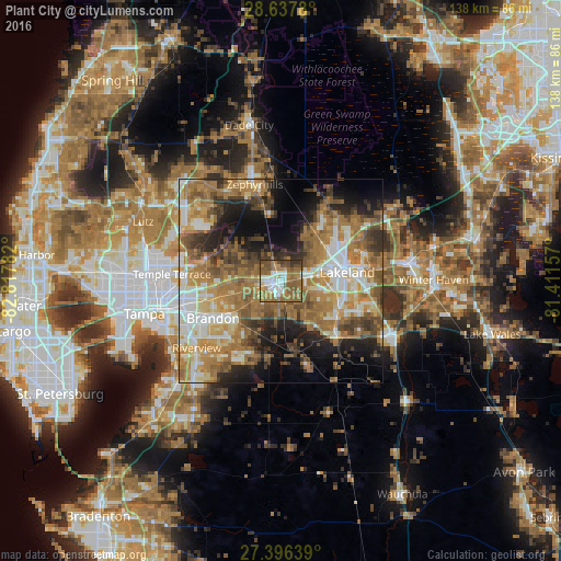
Analysis of Plant City night lights 2016
Square area 10x10 km:
 13.07%
90-99
12.88%80-89
3.22%70-79
8.9%60-69
26.52%50-59
22.35%40-49
9.09%30-39
3.79%20-29
0.19%10-19
0%0-9
0%Square area 50x50 km:
7%90-99
8.3%80-89
5.63%70-79
7.34%60-69
17.93%50-59
8.42%40-49
7.29%30-39
6%20-29
7.06%10-19
10.78%0-9
14.27%Clear (daylight) street map image can be seen on geolist.org.
Map coordinates:
28° 38' 16.1" North, 82° 49' 4.2" West
28° 1' 8" North, 82° 6' 52.9" West
27° 23' 47" North, 81° 24' 41.7" West
Some cities around Plant City sort by population:
• Lakeland
16.3 km =10.1 mi,  81°
81°
• Valrico
15 km =9.3 mi,  233°
233°
• Winston
9.9 km =6.2 mi, 81°
• Medulla
15 km =9.3 mi,  112°
112°
• Fuller Heights
16.7 km =10.4 mi,  136°
136°
• Seffner
16.3 km =10.1 mi,  256°
256°
• Willow Oak
14.9 km =9.3 mi, 140°
• Kathleen
14.5 km =9 mi,  38°
38°
4168773 (p: 37,406)
Sources (retrieved 2019-11-25):
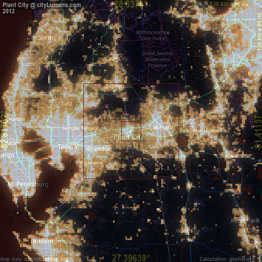
» Earth at Night: Flat Maps 2012, 2016