Lakeland night lights from space
Night Light of Lakeland (Florida) from space (United States) Src. Average luminocity for 10x10km area is 91.9905% and for 50x50km: 41.758%.
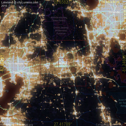
Analysis of Lakeland night lights 2016
Square area 10x10 km:
 34.66%
90-99
37.12%80-89
9.28%70-79
10.42%60-69
7.77%50-59
0.76%40-49
0%30-39
0%20-29
0%10-19
0%0-9
0%Square area 50x50 km:
4.59%90-99
5.59%80-89
2.85%70-79
4.87%60-69
16.5%50-59
8.8%40-49
7.44%30-39
6.93%20-29
7.97%10-19
12.65%0-9
21.81%Clear (daylight) street map image can be seen on geolist.org.
Map coordinates:
28° 39' 29.8" North, 82° 39' 10.5" West
28° 2' 22.1" North, 81° 56' 59.3" West
27° 25' 1.5" North, 81° 14' 48" West
Some cities around Lakeland sort by population:
• Highland City
10.9 km =6.8 mi,  139°
139°
• Winston
6.4 km =4 mi,  262°
262°
• Medulla
8.3 km =5.2 mi,  196°
196°
• Fuller Heights
15.2 km =9.4 mi, 198°
• Kathleen
11.6 km =7.2 mi,  321°
321°
• Combee Settlement
4.8 km =3 mi,  64°
64°
• Fussels Corner
8.9 km =5.5 mi,  79°
79°
• Crystal Lake
4.1 km =2.5 mi,  96°
96°
4161438 (p: 104,401)
Sources (retrieved 2019-11-25):
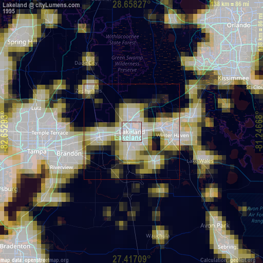
» NASA, Earths city lights 1995
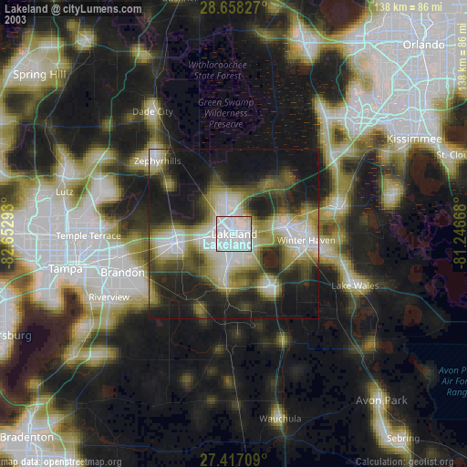
» NASA city lights 2003
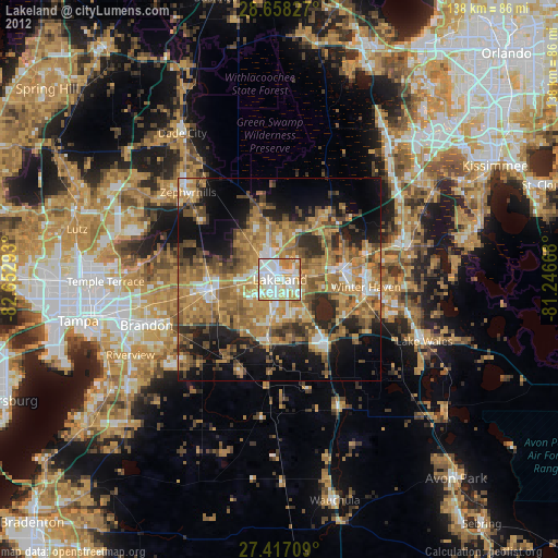
» Earth at Night: Flat Maps 2012, 2016