Oswego night lights from space
Night Light of Oswego (Illinois) from space (United States) Src. Average luminocity for 10x10km area is 59.0909% and for 50x50km: 47.7599%.
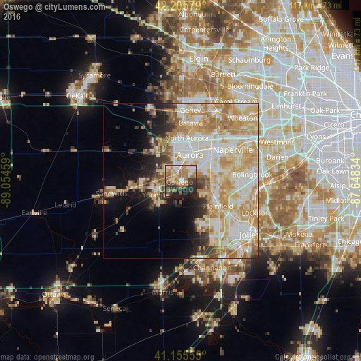
Analysis of Oswego night lights 2016
Square area 10x10 km:
 7.95%
7.95%90-99
9.74%80-89
8.6%70-79
12.5%60-69
14.12%50-59
9.25%40-49
6.01%30-39
13.31%20-29
12.66%10-19
5.84%0-9
0%Square area 50x50 km:
9.86%90-99
11.54%80-89
9.45%70-79
9.52%60-69
7.5%50-59
3.41%40-49
2.58%30-39
3.15%20-29
4.41%10-19
7.68%0-9
30.9%Clear (daylight) street map image can be seen on geolist.org.
Map coordinates:
42° 12' 20.8" North, 89° 3' 16.5" West
41° 40' 58.1" North, 88° 21' 5.3" West
41° 9' 20" North, 87° 38' 54" West
Some cities around Oswego sort by population:
• Aurora
9 km =5.6 mi,  16°
16°
• Plainfield
13.7 km =8.5 mi,  116°
116°
• Montgomery
5.3 km =3.3 mi,  4°
4°
• Yorkville
9.2 km =5.7 mi,  239°
239°
• North Aurora
13.9 km =8.6 mi,  8°
8°
• Sugar Grove
11.6 km =7.2 mi,  318°
318°
• Boulder Hill
3.5 km =2.2 mi, 21°
• Lynwood
3.5 km =2.2 mi,  271°
271°
4904996 (p: 33,955)
Sources (retrieved 2019-11-25):
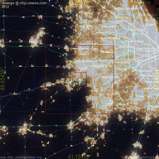
» Earth at Night: Flat Maps 2012, 2016