South Plainfield night lights from space
Night Light of South Plainfield (New Jersey) from space (United States) Src. Average luminocity for 10x10km area is 87.5747% and for 50x50km: 67.6043%.
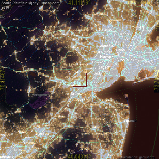
Analysis of South Plainfield night lights 2016
Square area 10x10 km:
 21.43%
90-99
27.76%80-89
18.67%70-79
27.6%60-69
4.06%50-59
0.49%40-49
0%30-39
0%20-29
0%10-19
0%0-9
0%Square area 50x50 km:
19.63%90-99
14.78%80-89
8.14%70-79
10.05%60-69
10.3%50-59
9.62%40-49
6.2%30-39
5.81%20-29
6.57%10-19
5.94%0-9
2.95%Clear (daylight) street map image can be seen on geolist.org.
Map coordinates:
41° 6' 40.2" North, 75° 6' 52.8" West
40° 34' 45.4" North, 74° 24' 41.5" West
40° 2' 35.2" North, 73° 42' 30.3" West
Some cities around South Plainfield sort by population:
• Edison
6.7 km =4.2 mi,  180°
180°
• Plainfield
6.1 km =3.8 mi,  3°
3°
• North Plainfield
5.8 km =3.6 mi,  346°
346°
• Middlesex
6.9 km =4.3 mi,  263°
263°
• Metuchen
5.7 km =3.5 mi,  134°
134°
• Fanwood
7.3 km =4.5 mi,  19°
19°
• Dunellen
5.2 km =3.2 mi,  282°
282°
• Watchung
7.3 km =4.5 mi,  332°
332°
5104844 (p: 24,290)
Sources (retrieved 2019-11-25):
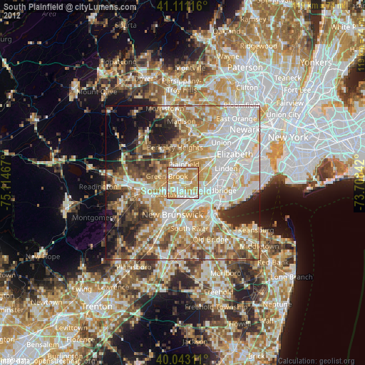
» Earth at Night: Flat Maps 2012, 2016