Gulfport night lights from space
Night Light of Gulfport (Florida) from space (United States) Src. Average luminocity for 10x10km area is 89.2183% and for 50x50km: 35.8664%.
Analysis of Gulfport night lights 2016
Square area 10x10 km:
 48.61%
90-99
22.82%80-89
4.96%70-79
5.16%60-69
8.93%50-59
5.36%40-49
1.39%30-39
0.99%20-29
1.79%10-19
0%0-9
0%Square area 50x50 km:
12.77%90-99
7.54%80-89
2.41%70-79
2.08%60-69
5.69%50-59
3.56%40-49
3.46%30-39
3.32%20-29
7.33%10-19
10.44%0-9
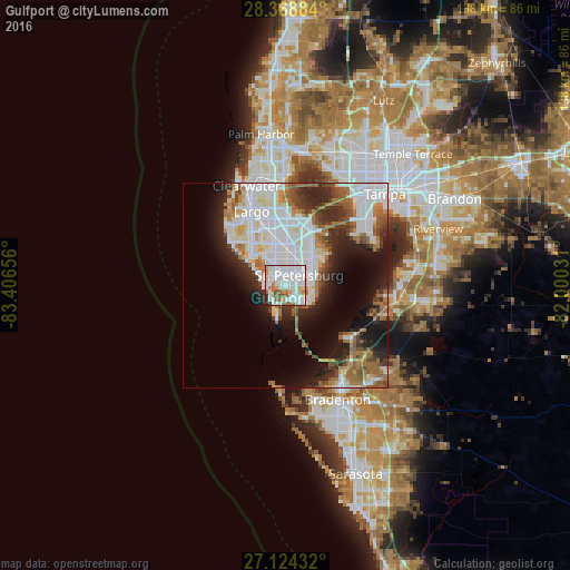
41.4%Clear (daylight) street map image can be seen on geolist.org.
Map coordinates:
28° 22' 7.8" North, 83° 24' 23.6" West
27° 44' 54.1" North, 82° 42' 12.3" West
27° 7' 27.6" North, 82° 0' 1.1" West
Some cities around Gulfport sort by population:
• St. Petersburg
3.5 km =2.2 mi,  43°
43°
• Pinellas Park
10.5 km =6.5 mi,  2°
2°
• West and East Lealman
8.1 km =5 mi,  9°
9°
• Lealman
8.4 km =5.2 mi,  16°
16°
• Saint Pete Beach
4.5 km =2.8 mi,  235°
235°
• Treasure Island
6.9 km =4.3 mi,  289°
289°
• South Pasadena
3.4 km =2.1 mi,  282°
282°
• Kenneth City
7.7 km =4.8 mi,  347°
347°
4157687 (p: 12,322)
Sources (retrieved 2019-11-25):
» Earth at Night: Flat Maps 2012, 2016