Carbondale night lights from space
Night Light of Carbondale (Illinois) from space (United States) Src. Average luminocity for 10x10km area is 45.199% and for 50x50km: 9.8616%.
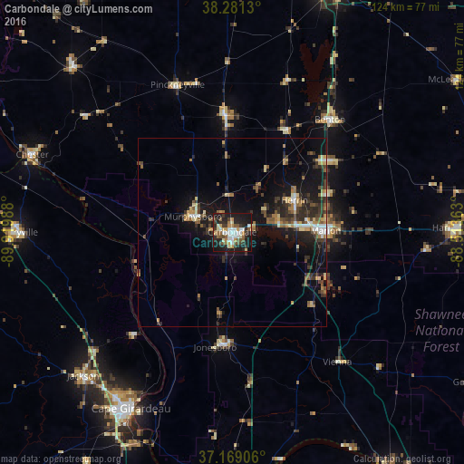
Analysis of Carbondale night lights 2016
Square area 10x10 km:
 8.33%
8.33%90-99
7.99%80-89
5.61%70-79
5.1%60-69
3.57%50-59
10.03%40-49
3.91%30-39
7.82%20-29
15.82%10-19
30.78%0-9
1.02%Square area 50x50 km:
0.89%90-99
0.95%80-89
1.26%70-79
1.06%60-69
1.23%50-59
1.72%40-49
1.2%30-39
2.64%20-29
3.25%10-19
9.28%0-9
76.52%Clear (daylight) street map image can be seen on geolist.org.
Map coordinates:
38° 16' 52.7" North, 89° 55' 11.6" West
37° 43' 38.2" North, 89° 13' 0.3" West
37° 10' 8.6" North, 88° 30' 49.1" West
Some cities around Carbondale sort by population:
• Marion
24.9 km =15.5 mi,  89°
89°
• Herrin
18.6 km =11.6 mi,  63°
63°
• West Frankfort
31.4 km =19.5 mi,  52°
52°
• Murphysboro
11.2 km =7 mi,  291°
291°
• Benton
39.7 km =24.7 mi,  40°
40°
• Du Quoin
31.6 km =19.6 mi,  356°
356°
• Carterville
12.8 km =8 mi,  73°
73°
• Pinckneyville
41.8 km =26 mi,  339°
339°
4235193 (p: 26,399)
Sources (retrieved 2019-11-25):
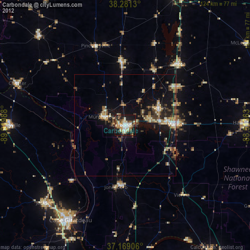
» Earth at Night: Flat Maps 2012, 2016