Paso Robles night lights from space
Night Light of Paso Robles (California) from space (United States) Src. Average luminocity for 10x10km area is 31.465% and for 50x50km: 3.1751%.
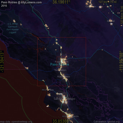
Analysis of Paso Robles night lights 2016
Square area 10x10 km:
 1.4%
1.4%90-99
2.8%80-89
2.1%70-79
9.97%60-69
8.22%50-59
8.57%40-49
3.32%30-39
1.05%20-29
3.5%10-19
31.29%0-9
27.8%Square area 50x50 km:
0.06%90-99
0.19%80-89
0.15%70-79
0.9%60-69
0.68%50-59
0.75%40-49
0.46%30-39
0.51%20-29
0.22%10-19
2.43%0-9
93.65%Clear (daylight) street map image can be seen on geolist.org.
Map coordinates:
36° 11' 46" North, 121° 23' 38.9" West
35° 37' 35.9" North, 120° 41' 27.6" West
35° 3' 11.1" North, 119° 59' 16.4" West
Some cities around Paso Robles sort by population:
• San Luis Obispo
38.3 km =23.8 mi,  175°
175°
• Atascadero
15.4 km =9.6 mi,  173°
173°
• Los Osos
37.3 km =23.2 mi,  200°
200°
• Grover Beach
56.5 km =35.1 mi, 173°
• Morro Bay
32.4 km =20.1 mi,  206°
206°
• Pismo Beach
54 km =33.6 mi, 175°
• Templeton
8.7 km =5.4 mi,  189°
189°
• Cambria
35.9 km =22.3 mi,  258°
258°
5381438 (p: 27,157)
Sources (retrieved 2019-11-25):
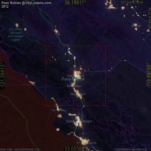
» Earth at Night: Flat Maps 2012, 2016