Palestine night lights from space
Night Light of Palestine (Texas) from space (United States) Src. Average luminocity for 10x10km area is 45.2509% and for 50x50km: 3.3911%.
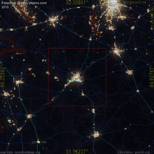
Analysis of Palestine night lights 2016
Square area 10x10 km:
 4.76%
4.76%90-99
6.59%80-89
9.16%70-79
4.4%60-69
5.31%50-59
13.19%40-49
7.33%30-39
8.97%20-29
9.16%10-19
26.56%0-9
4.58%Square area 50x50 km:
0.24%90-99
0.33%80-89
0.53%70-79
0.24%60-69
0.43%50-59
0.73%40-49
0.59%30-39
1%20-29
0.5%10-19
2.72%0-9
92.7%Clear (daylight) street map image can be seen on geolist.org.
Map coordinates:
32° 21' 28.8" North, 96° 20' 2.1" West
31° 45' 43.6" North, 95° 37' 50.8" West
31° 9' 44.5" North, 94° 55' 39.6" West
Some cities around Palestine sort by population:
• Tyler
72.5 km =45 mi,  25°
25°
• Jacksonville
40.7 km =25.3 mi,  56°
56°
• Athens
53.6 km =33.3 mi,  336°
336°
• Whitehouse
64.3 km =40 mi,  36°
36°
• Crockett
52 km =32.3 mi,  161°
161°
• Gun Barrel City
80.4 km =50 mi,  322°
322°
• Center
80.2 km =49.8 mi,  249°
249°
• Rusk
45.6 km =28.3 mi,  85°
85°
4717232 (p: 18,288)
Sources (retrieved 2019-11-25):
» Earth at Night: Flat Maps 2012, 2016