Gun Barrel City night lights from space
Night Light of Gun Barrel City (Texas) from space (United States) Src. Average luminocity for 10x10km area is 36.1264% and for 50x50km: 6.0891%.
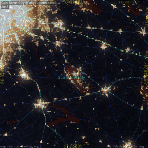
Analysis of Gun Barrel City night lights 2016
Square area 10x10 km:
 1.1%
1.1%90-99
1.1%80-89
7.88%70-79
4.03%60-69
10.44%50-59
6.04%40-49
4.03%30-39
9.52%20-29
11.9%10-19
39.74%0-9
4.21%Square area 50x50 km:
0.04%90-99
0.05%80-89
0.99%70-79
0.43%60-69
1.15%50-59
0.71%40-49
1.46%30-39
2.38%20-29
1.8%10-19
5.21%0-9
85.77%Clear (daylight) street map image can be seen on geolist.org.
Map coordinates:
32° 55' 36.2" North, 96° 51' 16.2" West
32° 20' 4.5" North, 96° 9' 4.9" West
31° 44' 18.8" North, 95° 26' 53.7" West
Some cities around Gun Barrel City sort by population:
• Balch Springs
62.2 km =38.6 mi,  314°
314°
• Corsicana
40 km =24.9 mi,  228°
228°
• Ennis
44.5 km =27.7 mi,  269°
269°
• Forney
54.9 km =34.1 mi,  326°
326°
• Terrell
46.1 km =28.6 mi,  345°
345°
• Seagoville
49.7 km =30.9 mi, 313°
• Athens
31.3 km =19.4 mi,  117°
117°
• Kaufman
31.9 km =19.8 mi, 332°
4695535 (p: 5,985)
Sources (retrieved 2019-11-25):
» Earth at Night: Flat Maps 2012, 2016