Pahokee night lights from space
Night Light of Pahokee (Florida) from space (United States) Src. Average luminocity for 10x10km area is 16.2778% and for 50x50km: 3.3198%.
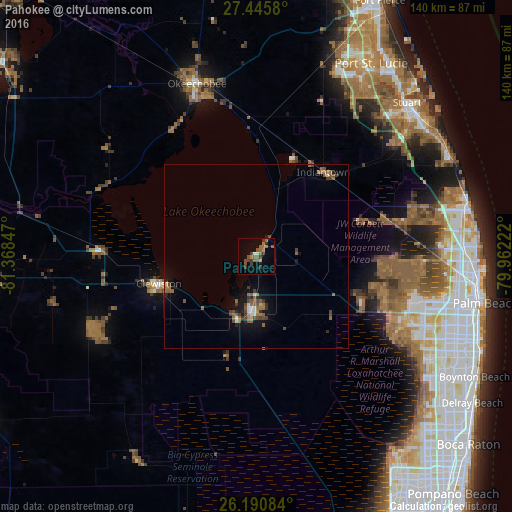
Analysis of Pahokee night lights 2016
Square area 10x10 km:
 0.6%
0.6%90-99
0.79%80-89
0.2%70-79
0.4%60-69
7.74%50-59
4.17%40-49
4.37%30-39
5.56%20-29
0.2%10-19
1.59%0-9
74.4%Square area 50x50 km:
0.17%90-99
0.23%80-89
0.13%70-79
0.08%60-69
1.05%50-59
0.94%40-49
0.89%30-39
0.61%20-29
0.36%10-19
1.87%0-9
93.68%Clear (daylight) street map image can be seen on geolist.org.
Map coordinates:
27° 26' 44.9" North, 81° 22' 6.5" West
26° 49' 12.2" North, 80° 39' 55.2" West
26° 11' 27" North, 79° 57' 44" West
Some cities around Pahokee sort by population:
• Wellington
45.8 km =28.5 mi,  113°
113°
• The Acreage
39.6 km =24.6 mi,  94°
94°
• Royal Palm Beach
44.9 km =27.9 mi, 106°
• Belle Glade
15.1 km =9.4 mi,  180°
180°
• Clewiston
27.6 km =17.1 mi,  254°
254°
• Indiantown
29.1 km =18.1 mi,  37°
37°
• Okeechobee
49.9 km =31 mi,  340°
340°
• South Bay
18.1 km =11.2 mi,  196°
196°
4167473 (p: 6,071)
Sources (retrieved 2019-11-25):
» Earth at Night: Flat Maps 2012, 2016