Belle Glade night lights from space
Night Light of Belle Glade (Florida) from space (United States) Src. Average luminocity for 10x10km area is 33.6856% and for 50x50km: 3.1093%.
Analysis of Belle Glade night lights 2016
Square area 10x10 km:
 3.41%
3.41%90-99
4.17%80-89
2.08%70-79
0.76%60-69
11.55%50-59
7.77%40-49
7.77%30-39
6.44%20-29
4.55%10-19
31.82%0-9
19.7%Square area 50x50 km:
0.17%90-99
0.22%80-89
0.11%70-79
0.08%60-69
0.98%50-59
0.83%40-49
0.79%30-39
0.66%20-29
0.35%10-19
1.92%0-9
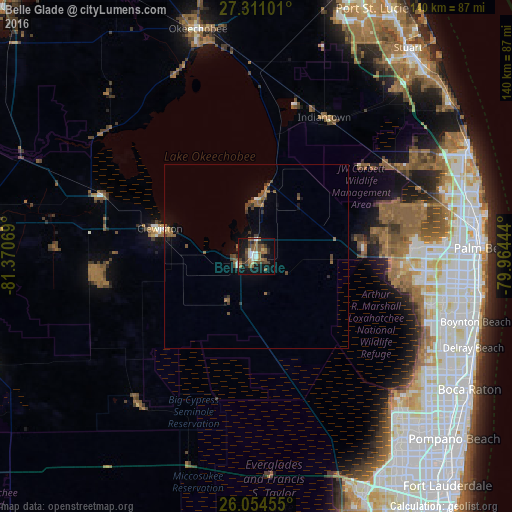
93.88%Clear (daylight) street map image can be seen on geolist.org.
Map coordinates:
27° 18' 39.6" North, 81° 22' 14.5" West
26° 41' 4.2" North, 80° 40' 3.2" West
26° 3' 16.4" North, 79° 57' 52" West
Some cities around Belle Glade sort by population:
• Wellington
42.4 km =26.3 mi,  93°
93°
• The Acreage
41.6 km =25.8 mi,  72°
72°
• Royal Palm Beach
43.5 km =27 mi, 86°
• Greenacres City
54.3 km =33.7 mi,  97°
97°
• Clewiston
27.5 km =17.1 mi,  286°
286°
• Indiantown
42.2 km =26.2 mi,  25°
25°
• Pahokee
15.1 km =9.4 mi,  0°
0°
• South Bay
5.3 km =3.3 mi,  244°
244°
4147241 (p: 18,251)
Sources (retrieved 2019-11-25):
» Earth at Night: Flat Maps 2012, 2016