Royal Palm Beach night lights from space
Night Light of Royal Palm Beach (Florida) from space (United States) Src. Average luminocity for 10x10km area is 76.252% and for 50x50km: 41.3069%.
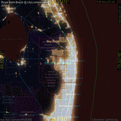
Analysis of Royal Palm Beach night lights 2016
Square area 10x10 km:
 18.65%
90-99
17.86%80-89
6.55%70-79
10.32%60-69
22.02%50-59
19.64%40-49
3.77%30-39
1.19%20-29
0%10-19
0%0-9
0%Square area 50x50 km:
10.63%90-99
10.93%80-89
4.14%70-79
2.97%60-69
7.22%50-59
7.01%40-49
3.86%30-39
2.8%20-29
5.72%10-19
9.28%0-9
35.46%Clear (daylight) street map image can be seen on geolist.org.
Map coordinates:
27° 20' 5.1" North, 80° 56' 1.4" West
26° 42' 30.2" North, 80° 13' 50.2" West
26° 4' 42.9" North, 79° 31' 38.9" West
Some cities around Royal Palm Beach sort by population:
• West Palm Beach
17.6 km =10.9 mi,  87°
87°
• Wellington
5.6 km =3.5 mi,  191°
191°
• Palm Beach Gardens
15.7 km =9.8 mi,  35°
35°
• The Acreage
10.2 km =6.3 mi,  338°
338°
• Greenacres City
14.1 km =8.8 mi,  132°
132°
• Palm Springs
15.6 km =9.7 mi,  121°
121°
• Lake Worth Corridor
16.4 km =10.2 mi, 128°
• West Gate
13.2 km =8.2 mi, 92°
4170617 (p: 37,633)
Sources (retrieved 2019-11-25):
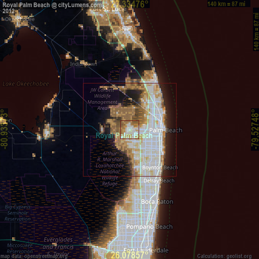
» Earth at Night: Flat Maps 2012, 2016