Gardner night lights from space
Night Light of Gardner (Kansas) from space (United States) Src. Average luminocity for 10x10km area is 47.898% and for 50x50km: 24.0119%.
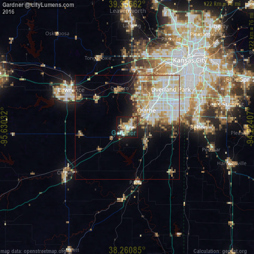
Analysis of Gardner night lights 2016
Square area 10x10 km:
 8.5%
8.5%90-99
9.01%80-89
5.95%70-79
9.69%60-69
4.25%50-59
5.78%40-49
6.46%30-39
5.1%20-29
18.37%10-19
24.15%0-9
2.72%Square area 50x50 km:
5.16%90-99
6.51%80-89
3.99%70-79
2.77%60-69
2.74%50-59
2.21%40-49
2.07%30-39
1.9%20-29
3.48%10-19
6.33%0-9
62.82%Clear (daylight) street map image can be seen on geolist.org.
Map coordinates:
39° 21' 23.8" North, 95° 37' 49.2" West
38° 48' 39" North, 94° 55' 37.9" West
38° 15' 39.1" North, 94° 13' 26.7" West
Some cities around Gardner sort by population:
• Overland Park
29.2 km =18.1 mi,  49°
49°
• Olathe
12.2 km =7.6 mi, 50°
• Lenexa
23.1 km =14.4 mi, 46°
• Bonner Springs
27.9 km =17.3 mi,  7°
7°
• Eudora
20.9 km =13 mi,  314°
314°
• De Soto
19.1 km =11.9 mi,  349°
349°
• Spring Hill
11.6 km =7.2 mi,  130°
130°
• Paola
26.9 km =16.7 mi,  171°
171°
4271935 (p: 20,868)
Sources (retrieved 2019-11-25):
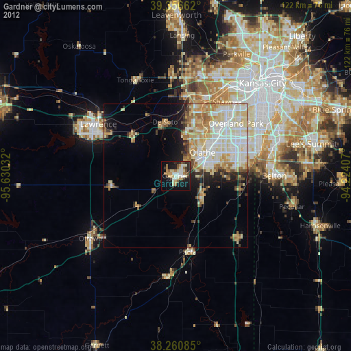
» Earth at Night: Flat Maps 2012, 2016