East Brunswick night lights from space
Night Light of East Brunswick (New Jersey) from space (United States) Src. Average luminocity for 10x10km area is 78.3401% and for 50x50km: 65.3426%.
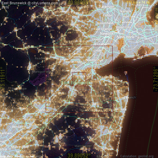
Analysis of East Brunswick night lights 2016
Square area 10x10 km:
 15.82%
90-99
18.03%80-89
12.41%70-79
15.14%60-69
25.68%50-59
10.03%40-49
2.89%30-39
0%20-29
0%10-19
0%0-9
0%Square area 50x50 km:
13.53%90-99
13.33%80-89
8.37%70-79
10.15%60-69
11.83%50-59
13.57%40-49
8.9%30-39
8.25%20-29
7.52%10-19
4%0-9
0.56%Clear (daylight) street map image can be seen on geolist.org.
Map coordinates:
40° 57' 39.5" North, 75° 7' 8.8" West
40° 25' 40.4" North, 74° 24' 57.5" West
39° 53' 25.9" North, 73° 42' 46.3" West
Some cities around East Brunswick sort by population:
• New Brunswick
7.2 km =4.5 mi,  334°
334°
• Sayreville
5.8 km =3.6 mi,  53°
53°
• Old Bridge
4.5 km =2.8 mi,  108°
108°
• South Old Bridge
5.7 km =3.5 mi, 112°
• South River
3.3 km =2.1 mi, 50°
• Highland Park
7.6 km =4.7 mi,  354°
354°
• Spotswood
4.3 km =2.7 mi,  159°
159°
• Milltown
3.9 km =2.4 mi,  323°
323°
5097402 (p: 48,495)
Sources (retrieved 2019-11-25):
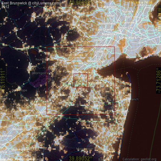
» Earth at Night: Flat Maps 2012, 2016