Oildale night lights from space
Night Light of Oildale (California) from space (United States) Src. Average luminocity for 10x10km area is 78.3626% and for 50x50km: 19.2969%.
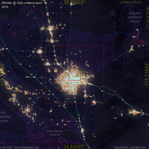
Analysis of Oildale night lights 2016
Square area 10x10 km:
 16.48%
90-99
22.89%80-89
10.26%70-79
16.67%60-69
18.68%50-59
7.51%40-49
3.11%30-39
2.38%20-29
1.65%10-19
0.37%0-9
0%Square area 50x50 km:
2.08%90-99
2.98%80-89
1.93%70-79
3.69%60-69
4.52%50-59
2.95%40-49
3.01%30-39
2.35%20-29
3.77%10-19
9.16%0-9
63.56%Clear (daylight) street map image can be seen on geolist.org.
Map coordinates:
35° 59' 26.3" North, 119° 43' 21.6" West
35° 25' 10.8" North, 119° 1' 10.4" West
34° 50' 40.7" North, 118° 18' 59.1" West
Some cities around Oildale sort by population:
• Bakersfield
5.2 km =3.2 mi,  179°
179°
• Wasco
35 km =21.7 mi,  303°
303°
• Arvin
29.1 km =18.1 mi,  143°
143°
• Shafter
24.5 km =15.2 mi,  291°
291°
• Lamont
20.2 km =12.6 mi,  151°
151°
• Rosedale
12.1 km =7.5 mi,  250°
250°
• McFarland
34.4 km =21.4 mi,  326°
326°
• Greenacres
9.1 km =5.7 mi,  243°
243°
5378870 (p: 32,684)
Sources (retrieved 2019-11-25):
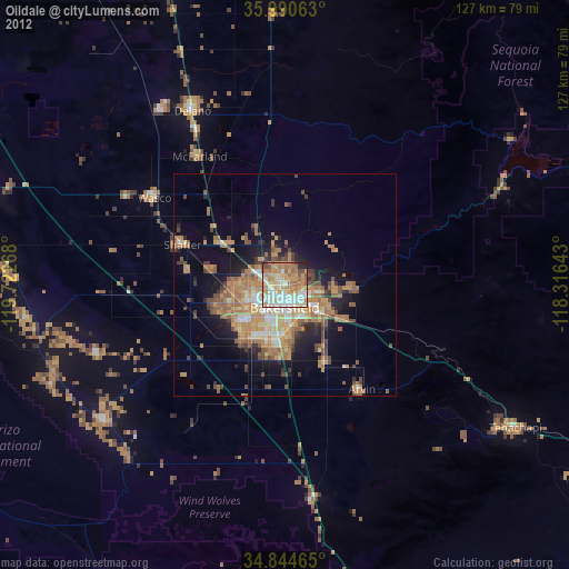
» Earth at Night: Flat Maps 2012, 2016