Bakersfield night lights from space
Night Light of Bakersfield (California) from space (United States) Src. Average luminocity for 10x10km area is 89.6648% and for 50x50km: 19.4775%.
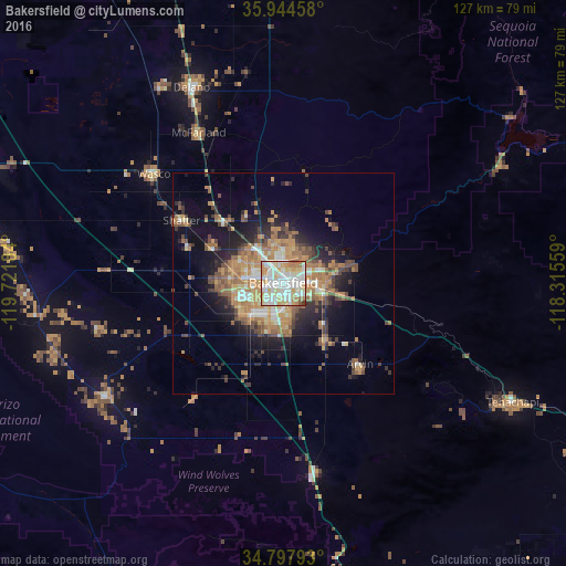
Analysis of Bakersfield night lights 2016
Square area 10x10 km:
 27.66%
90-99
35.16%80-89
16.67%70-79
10.44%60-69
7.51%50-59
1.83%40-49
0.73%30-39
0%20-29
0%10-19
0%0-9
0%Square area 50x50 km:
2.08%90-99
2.98%80-89
1.93%70-79
3.72%60-69
4.57%50-59
2.95%40-49
3.09%30-39
2.46%20-29
3.79%10-19
9.27%0-9
63.16%Clear (daylight) street map image can be seen on geolist.org.
Map coordinates:
35° 56' 40.5" North, 119° 43' 18.6" West
35° 22' 23.8" North, 119° 1' 7.4" West
34° 47' 52.5" North, 118° 18' 56.1" West
Some cities around Bakersfield sort by population:
• Oildale
5.2 km =3.2 mi,  359°
359°
• Wasco
38.1 km =23.7 mi,  310°
310°
• Arvin
25.1 km =15.6 mi,  136°
136°
• Shafter
26.9 km =16.7 mi,  301°
301°
• Lamont
15.8 km =9.8 mi, 143°
• Rosedale
11.5 km =7.1 mi,  275°
275°
• McFarland
38.9 km =24.2 mi,  330°
330°
• Greenacres
8.3 km =5.2 mi, 277°
5325738 (p: 373,640)
Sources (retrieved 2019-11-25):
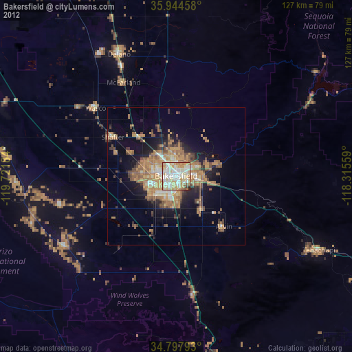
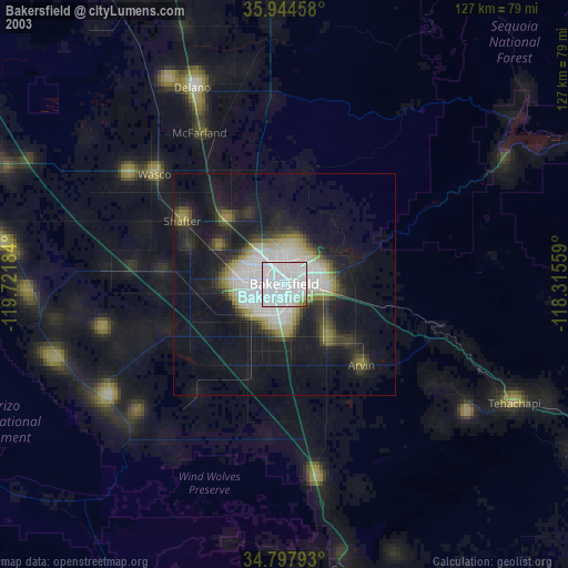
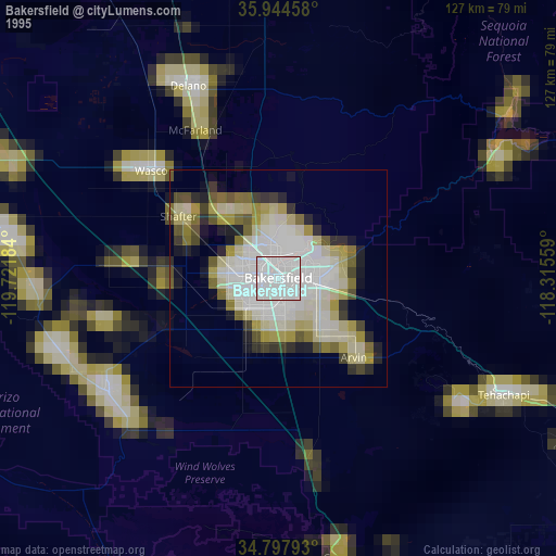
» NASA, Earths city lights 1995
» NASA city lights 2003
» Earth at Night: Flat Maps 2012, 2016