Centralia night lights from space
Night Light of Centralia (Washington) from space (United States) Src. Average luminocity for 10x10km area is 23.9479% and for 50x50km: 2.3696%.
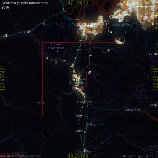
Analysis of Centralia night lights 2016
Square area 10x10 km:
 2.68%
2.68%90-99
4.61%80-89
3.42%70-79
2.38%60-69
2.68%50-59
3.72%40-49
0.45%30-39
2.98%20-29
4.76%10-19
33.04%0-9
39.29%Square area 50x50 km:
0.26%90-99
0.35%80-89
0.3%70-79
0.25%60-69
0.26%50-59
0.33%40-49
0.17%30-39
0.4%20-29
0.34%10-19
2.12%0-9
95.2%Clear (daylight) street map image can be seen on geolist.org.
Map coordinates:
47° 11' 46.1" North, 123° 39' 26.7" West
46° 42' 58.4" North, 122° 57' 15.5" West
46° 13' 55.1" North, 122° 15' 4.2" West
Some cities around Centralia sort by population:
• Olympia
36 km =22.4 mi,  6°
6°
• Lacey
36.7 km =22.8 mi,  15°
15°
• Tumwater
32.5 km =20.2 mi, 6°
• DuPont
48.9 km =30.4 mi,  30°
30°
• Yelm
36.5 km =22.7 mi,  46°
46°
• Chehalis
6.1 km =3.8 mi,  187°
187°
• Tanglewilde-Thompson Place
39.5 km =24.5 mi, 19°
• Tanglewilde
39.5 km =24.5 mi, 19°
5789683 (p: 16,753)
Sources (retrieved 2019-11-25):
» Earth at Night: Flat Maps 2012, 2016