Oak Ridge night lights from space
Night Light of Oak Ridge (Florida) from space (United States) Src. Average luminocity for 10x10km area is 99.004% and for 50x50km: 76.7833%.
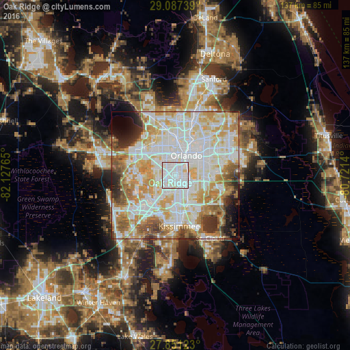
Analysis of Oak Ridge night lights 2016
Square area 10x10 km:
 67.86%
90-99
28.97%80-89
3.17%70-79
0%60-69
0%50-59
0%40-49
0%30-39
0%20-29
0%10-19
0%0-9
0%Square area 50x50 km:
24.59%90-99
23.3%80-89
9.83%70-79
10.82%60-69
9.4%50-59
5.22%40-49
3.72%30-39
3.51%20-29
3.44%10-19
2.85%0-9
3.32%Clear (daylight) street map image can be seen on geolist.org.
Map coordinates:
29° 5' 14.6" North, 82° 7' 39.5" West
28° 28' 16" North, 81° 25' 28.3" West
27° 51' 4.4" North, 80° 43' 17" West
Some cities around Oak Ridge sort by population:
• Orlando
8.7 km =5.4 mi,  30°
30°
• Southchase
9.6 km =6 mi,  155°
155°
• Doctor Phillips
7 km =4.3 mi,  250°
250°
• Pine Castle
5.5 km =3.4 mi,  89°
89°
• Williamsburg
6.6 km =4.1 mi,  195°
195°
• Belle Isle
6.5 km =4 mi,  102°
102°
• Sky Lake
3.6 km =2.2 mi,  115°
115°
• Orlovista
8.3 km =5.2 mi,  334°
334°
4166583 (p: 22,685)
Sources (retrieved 2019-11-25):
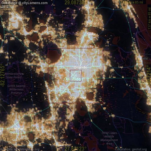
» Earth at Night: Flat Maps 2012, 2016