Northfield night lights from space
Night Light of Northfield (Minnesota) from space (United States) Src. Average luminocity for 10x10km area is 27.2635% and for 50x50km: 6.6987%.
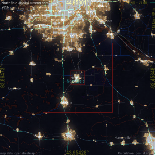
Analysis of Northfield night lights 2016
Square area 10x10 km:
 2.54%
2.54%90-99
4.92%80-89
5.4%70-79
3.81%60-69
3.97%50-59
1.75%40-49
3.49%30-39
2.54%20-29
3.33%10-19
28.1%0-9
40.16%Square area 50x50 km:
0.52%90-99
0.77%80-89
0.91%70-79
1.03%60-69
0.98%50-59
1.01%40-49
0.91%30-39
0.95%20-29
1.7%10-19
5.29%0-9
85.93%Clear (daylight) street map image can be seen on geolist.org.
Map coordinates:
44° 57' 28.8" North, 93° 51' 53" West
44° 27' 29.9" North, 93° 9' 41.8" West
43° 57' 15.4" North, 92° 27' 30.5" West
Some cities around Northfield sort by population:
• Burnsville
35.6 km =22.1 mi,  345°
345°
• Lakeville
22.2 km =13.8 mi,  343°
343°
• Apple Valley
30.7 km =19.1 mi, 351°
• Prior Lake
35.1 km =21.8 mi,  323°
323°
• Faribault
20.1 km =12.5 mi,  205°
205°
• Rosemount
31.4 km =19.5 mi,  5°
5°
• Farmington
20.3 km =12.6 mi,  4°
4°
• New Prague
34.2 km =21.3 mi,  286°
286°
5039675 (p: 20,380)
Sources (retrieved 2019-11-25):
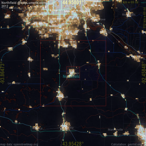
» Earth at Night: Flat Maps 2012, 2016