Rosemount night lights from space
Night Light of Rosemount (Minnesota) from space (United States) Src. Average luminocity for 10x10km area is 44.8076% and for 50x50km: 40.4822%.
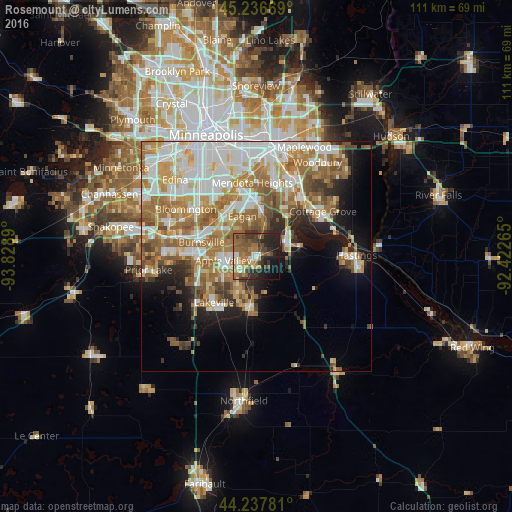
Analysis of Rosemount night lights 2016
Square area 10x10 km:
 4.09%
4.09%90-99
3.18%80-89
4.09%70-79
6.97%60-69
11.82%50-59
14.09%40-49
9.24%30-39
9.39%20-29
16.52%10-19
15.91%0-9
4.7%Square area 50x50 km:
9.7%90-99
8.8%80-89
4.17%70-79
5.35%60-69
9.36%50-59
5.8%40-49
3.81%30-39
2.69%20-29
4.61%10-19
7.94%0-9
37.77%Clear (daylight) street map image can be seen on geolist.org.
Map coordinates:
45° 14' 12.1" North, 93° 49' 44" West
44° 44' 21.9" North, 93° 7' 32.8" West
44° 14' 16.1" North, 92° 25' 21.5" West
Some cities around Rosemount sort by population:
• Eagan
7.9 km =4.9 mi,  335°
335°
• Burnsville
12.4 km =7.7 mi,  284°
284°
• Lakeville
13.6 km =8.5 mi,  222°
222°
• Apple Valley
7.3 km =4.5 mi,  263°
263°
• Inver Grove Heights
13.7 km =8.5 mi,  28°
28°
• Farmington
11.1 km =6.9 mi,  187°
187°
• Mendota Heights
16.1 km =10 mi,  356°
356°
• Saint Paul Park
15.6 km =9.7 mi,  42°
42°
5043779 (p: 23,413)
Sources (retrieved 2019-11-25):
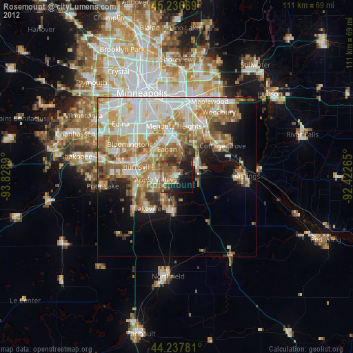
» Earth at Night: Flat Maps 2012, 2016