North Kingstown night lights from space
Night Light of North Kingstown (Rhode Island) from space (United States) Src. Average luminocity for 10x10km area is 21.8776% and for 50x50km: 19.3911%.
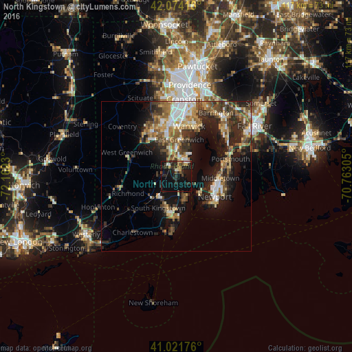
Analysis of North Kingstown night lights 2016
Square area 10x10 km:
 1.36%
1.36%90-99
1.7%80-89
2.55%70-79
2.21%60-69
1.7%50-59
2.21%40-49
1.36%30-39
7.14%20-29
12.76%10-19
28.57%0-9
38.44%Square area 50x50 km:
2.46%90-99
2.93%80-89
2.34%70-79
2.5%60-69
3.05%50-59
3.11%40-49
3.41%30-39
3.33%20-29
6.05%10-19
10.98%0-9
59.84%Clear (daylight) street map image can be seen on geolist.org.
Map coordinates:
42° 4' 27" North, 72° 10' 9.5" West
41° 33' 0.4" North, 71° 27' 58.2" West
41° 1' 18.3" North, 70° 45' 47" West
Some cities around North Kingstown sort by population:
• South Kingstown
12.4 km =7.7 mi,  203°
203°
• Newport
14.4 km =8.9 mi,  117°
117°
• Narragansett
11.2 km =7 mi,  172°
172°
• East Greenwich
12.3 km =7.6 mi,  3°
3°
• Wakefield-Peacedale
11.9 km =7.4 mi,  193°
193°
• Kingston
9.1 km =5.7 mi,  211°
211°
• Exeter
6.7 km =4.2 mi,  297°
297°
• Jamestown
10.1 km =6.3 mi,  125°
125°
5223672 (p: 28,042)
Sources (retrieved 2019-11-25):
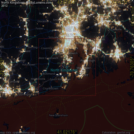
» Earth at Night: Flat Maps 2012, 2016