Decatur night lights from space
Night Light of Decatur (Georgia) from space (United States) Src. Average luminocity for 10x10km area is 98.0128% and for 50x50km: 87.895%.
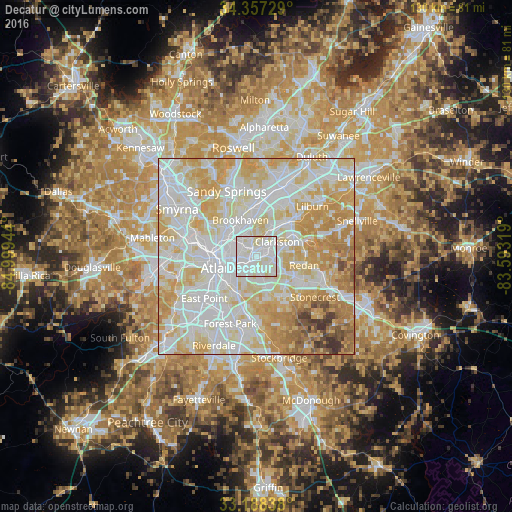
Analysis of Decatur night lights 2016
Square area 10x10 km:
 47.44%
90-99
49.82%80-89
2.75%70-79
0%60-69
0%50-59
0%40-49
0%30-39
0%20-29
0%10-19
0%0-9
0%Square area 50x50 km:
30.06%90-99
26.1%80-89
18.45%70-79
14.54%60-69
5.98%50-59
2.05%40-49
1.48%30-39
1.24%20-29
0.08%10-19
0%0-9
0%Clear (daylight) street map image can be seen on geolist.org.
Map coordinates:
34° 21' 26.2" North, 84° 59' 58" West
33° 46' 29.4" North, 84° 17' 46.7" West
33° 11' 18.2" North, 83° 35' 35.5" West
Some cities around Decatur sort by population:
• Candler-McAfee
5.8 km =3.6 mi,  157°
157°
• North Druid Hills
4.9 km =3 mi,  341°
341°
• North Decatur
1.9 km =1.2 mi,  332°
332°
• Belvedere Park
3.5 km =2.2 mi,  129°
129°
• Druid Hills
3.7 km =2.3 mi,  279°
279°
• Clarkston
6.5 km =4 mi,  53°
53°
• Scottdale
3.4 km =2.1 mi,  60°
60°
• Panthersville
7.8 km =4.8 mi, 163°
4191124 (p: 21,957)
Sources (retrieved 2019-11-25):
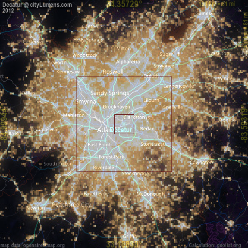
» Earth at Night: Flat Maps 2012, 2016