Ankeny night lights from space
Night Light of Ankeny (Iowa) from space (United States) Src. Average luminocity for 10x10km area is 64.4367% and for 50x50km: 25.577%.
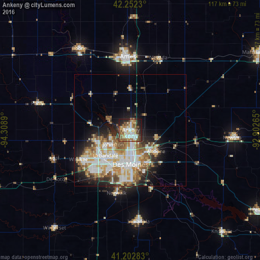
Analysis of Ankeny night lights 2016
Square area 10x10 km:
 12.5%
12.5%90-99
12.82%80-89
9.58%70-79
11.69%60-69
10.71%50-59
13.96%40-49
6.66%30-39
2.92%20-29
12.34%10-19
6.82%0-9
0%Square area 50x50 km:
5.56%90-99
5.78%80-89
3.34%70-79
3.45%60-69
3.32%50-59
3.56%40-49
2.93%30-39
2.44%20-29
4.43%10-19
7.34%0-9
57.87%Clear (daylight) street map image can be seen on geolist.org.
Map coordinates:
42° 15' 8.3" North, 94° 18' 32" West
41° 43' 47" North, 93° 36' 20.8" West
41° 12' 10.2" North, 92° 54' 9.5" West
Some cities around Ankeny sort by population:
• Des Moines
14.4 km =8.9 mi,  181°
181°
• West Des Moines
19.1 km =11.9 mi,  207°
207°
• Urbandale
14.5 km =9 mi,  217°
217°
• Johnston
9.9 km =6.2 mi,  230°
230°
• Altoona
15.1 km =9.4 mi,  129°
129°
• Clive
17.2 km =10.7 mi, 214°
• Grimes
16.1 km =10 mi,  253°
253°
• Pleasant Hill
17.7 km =11 mi,  156°
156°
4846960 (p: 56,764)
Sources (retrieved 2019-11-25):
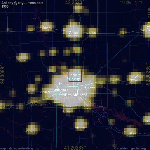
» NASA, Earths city lights 1995
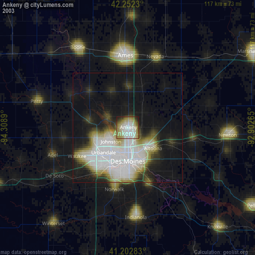
» NASA city lights 2003
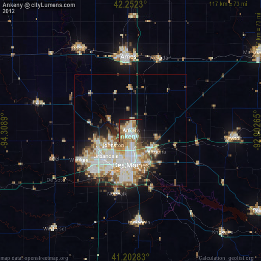
» Earth at Night: Flat Maps 2012, 2016