New City night lights from space
Night Light of New City (New York) from space (United States) Src. Average luminocity for 10x10km area is 65.9156% and for 50x50km: 46.7738%.
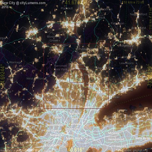
Analysis of New City night lights 2016
Square area 10x10 km:
 6.98%
6.98%90-99
8.93%80-89
10.23%70-79
11.85%60-69
20.62%50-59
22.56%40-49
10.39%30-39
5.52%20-29
2.92%10-19
0%0-9
0%Square area 50x50 km:
6.31%90-99
7.39%80-89
6.18%70-79
8.92%60-69
13.25%50-59
7.9%40-49
5.09%30-39
5.39%20-29
8.08%10-19
13.92%0-9
17.57%Clear (daylight) street map image can be seen on geolist.org.
Map coordinates:
41° 40' 29.7" North, 74° 41' 32.8" West
41° 8' 51.4" North, 73° 59' 21.5" West
40° 36' 57.6" North, 73° 17' 10.3" West
Some cities around New City sort by population:
• Spring Valley
6 km =3.7 mi,  229°
229°
• Haverstraw
5.9 km =3.7 mi,  20°
20°
• Valley Cottage
4.3 km =2.7 mi,  139°
139°
• Congers
3.7 km =2.3 mi,  84°
84°
• New Square
3.5 km =2.2 mi,  255°
255°
• Hillcrest
4.9 km =3 mi,  243°
243°
• Mount Ivy
5.8 km =3.6 mi,  318°
318°
• New Hempstead
3.7 km =2.3 mi,  273°
273°
5128481 (p: 33,559)
Sources (retrieved 2019-11-25):
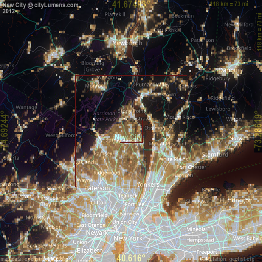
» Earth at Night: Flat Maps 2012, 2016