Spring Valley night lights from space
Night Light of Spring Valley (New York) from space (United States) Src. Average luminocity for 10x10km area is 74.513% and for 50x50km: 49.5116%.
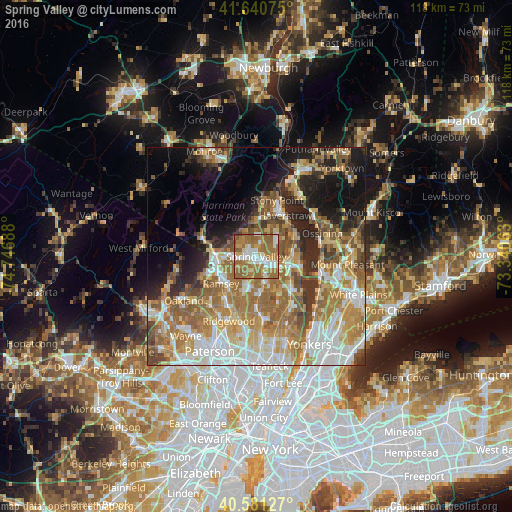
Analysis of Spring Valley night lights 2016
Square area 10x10 km:
 13.64%
90-99
14.77%80-89
5.84%70-79
10.23%60-69
40.58%50-59
13.96%40-49
0.49%30-39
0.49%20-29
0%10-19
0%0-9
0%Square area 50x50 km:
9.03%90-99
9.17%80-89
6.15%70-79
9.05%60-69
12.51%50-59
7.52%40-49
5.09%30-39
4.47%20-29
7%10-19
9.93%0-9
20.06%Clear (daylight) street map image can be seen on geolist.org.
Map coordinates:
41° 38' 26.7" North, 74° 44' 48.8" West
41° 6' 47.3" North, 74° 2' 37.5" West
40° 34' 52.6" North, 73° 20' 26.3" West
Some cities around Spring Valley sort by population:
• Monsey
2.1 km =1.3 mi,  264°
264°
• Nanuet
3.7 km =2.3 mi,  136°
136°
• Chestnut Ridge
3.4 km =2.1 mi,  197°
197°
• New Square
3.2 km =2 mi,  22°
22°
• Hillcrest
1.7 km =1.1 mi,  8°
8°
• Viola
4.1 km =2.5 mi,  308°
308°
• New Hempstead
4.2 km =2.6 mi, 11°
• Kaser
2.2 km =1.4 mi,  294°
294°
5139301 (p: 32,598)
Sources (retrieved 2019-11-25):
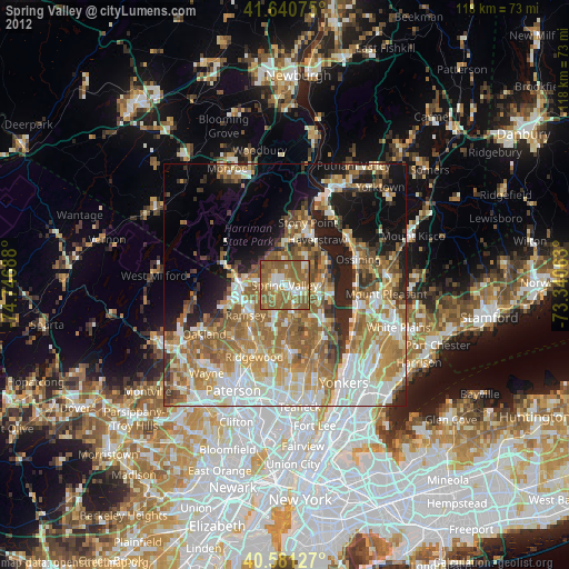
» Earth at Night: Flat Maps 2012, 2016