Grand Boulevard night lights from space
Night Light of Grand Boulevard (Illinois) from space (United States) Src. Average luminocity for 10x10km area is 87.7455% and for 50x50km: 62.4881%.
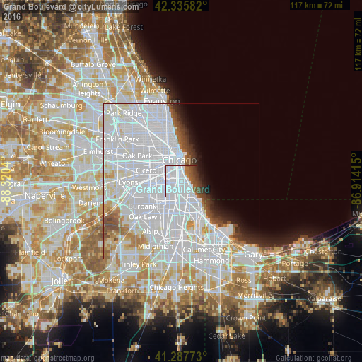
Analysis of Grand Boulevard night lights 2016
Square area 10x10 km:
 63.48%
90-99
12.27%80-89
0%70-79
0.3%60-69
5.76%50-59
7.27%40-49
5.91%30-39
4.24%20-29
0.76%10-19
0%0-9
0%Square area 50x50 km:
39.25%90-99
13.6%80-89
3.28%70-79
2.27%60-69
2.46%50-59
2.19%40-49
2.2%30-39
1.87%20-29
2.07%10-19
2.84%0-9
27.97%Clear (daylight) street map image can be seen on geolist.org.
Map coordinates:
42° 20' 9" North, 88° 19' 13.4" West
41° 48' 50.1" North, 87° 37' 2.2" West
41° 17' 15.8" North, 86° 54' 50.9" West
Some cities around Grand Boulevard sort by population:
• Chicago
4.8 km =3 mi,  325°
325°
• New City
3.3 km =2.1 mi,  257°
257°
• Bridgeport
3.9 km =2.4 mi,  313°
313°
• Hyde Park
2.9 km =1.8 mi,  138°
138°
• Englewood
4.5 km =2.8 mi,  211°
211°
• Woodlawn
4.1 km =2.5 mi,  158°
158°
• Douglas
2.3 km =1.4 mi,  358°
358°
• Kenwood
1.7 km =1.1 mi,  107°
107°
4894320 (p: 22,373)
Sources (retrieved 2019-11-25):
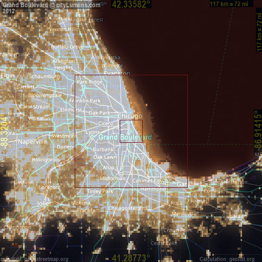
» Earth at Night: Flat Maps 2012, 2016