Bridgeport night lights from space
Night Light of Bridgeport (Illinois) from space (United States) Src. Average luminocity for 10x10km area is 96.6683% and for 50x50km: 64.2788%.
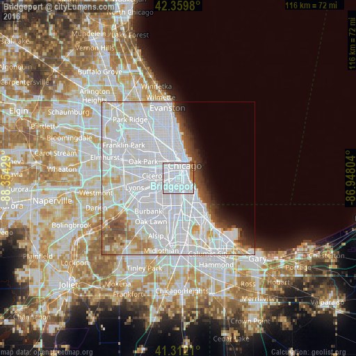
Analysis of Bridgeport night lights 2016
Square area 10x10 km:
 81.43%
90-99
10.32%80-89
0%70-79
0.95%60-69
4.92%50-59
2.22%40-49
0.16%30-39
0%20-29
0%10-19
0%0-9
0%Square area 50x50 km:
39.57%90-99
14.03%80-89
3.9%70-79
2.42%60-69
2.69%50-59
2.64%40-49
2.27%30-39
1.92%20-29
1.98%10-19
2.79%0-9
25.78%Clear (daylight) street map image can be seen on geolist.org.
Map coordinates:
42° 21' 35.3" North, 88° 21' 15.4" West
41° 50' 17.1" North, 87° 39' 4.2" West
41° 18' 43.6" North, 86° 56' 52.9" West
Some cities around Bridgeport sort by population:
• Chicago
1.3 km =0.8 mi,  3°
3°
• Brighton Park
4.5 km =2.8 mi,  241°
241°
• New City
3.4 km =2.1 mi,  187°
187°
• Lower West Side
2.2 km =1.4 mi,  326°
326°
• Near South Side
3 km =1.9 mi,  46°
46°
• Grand Boulevard
3.9 km =2.4 mi,  133°
133°
• Douglas
2.8 km =1.7 mi,  97°
97°
• McKinley Park
2 km =1.2 mi,  249°
249°
4885565 (p: 33,878)
Sources (retrieved 2019-11-25):
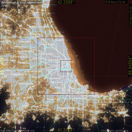
» Earth at Night: Flat Maps 2012, 2016