New Albany night lights from space
Night Light of New Albany (Indiana) from space (United States) Src. Average luminocity for 10x10km area is 74.7228% and for 50x50km: 40.078%.
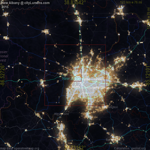
Analysis of New Albany night lights 2016
Square area 10x10 km:
 21.6%
21.6%90-99
22.28%80-89
4.76%70-79
11.73%60-69
10.37%50-59
9.01%40-49
7.82%30-39
4.93%20-29
7.48%10-19
0%0-9
0%Square area 50x50 km:
11.92%90-99
9.83%80-89
5.51%70-79
4.32%60-69
4.81%50-59
3.7%40-49
3.62%30-39
3.85%20-29
4.69%10-19
6.55%0-9
41.2%Clear (daylight) street map image can be seen on geolist.org.
Map coordinates:
38° 50' 7.5" North, 86° 31' 38.1" West
38° 17' 8.2" North, 85° 49' 26.9" West
37° 43' 53.8" North, 85° 7' 15.6" West
Some cities around New Albany sort by population:
• Louisville
6.6 km =4.1 mi,  121°
121°
• Jeffersonville
7.6 km =4.7 mi,  96°
96°
• Clarksville
5.7 km =3.5 mi,  77°
77°
• Saint Matthews
15.1 km =9.4 mi, 103°
• Shively
9.5 km =5.9 mi,  179°
179°
• Saint Dennis
11 km =6.8 mi,  189°
189°
• Sellersburg
13.9 km =8.6 mi,  25°
25°
• Oak Park
11.4 km =7.1 mi, 78°
4262045 (p: 36,732)
Sources (retrieved 2019-11-25):
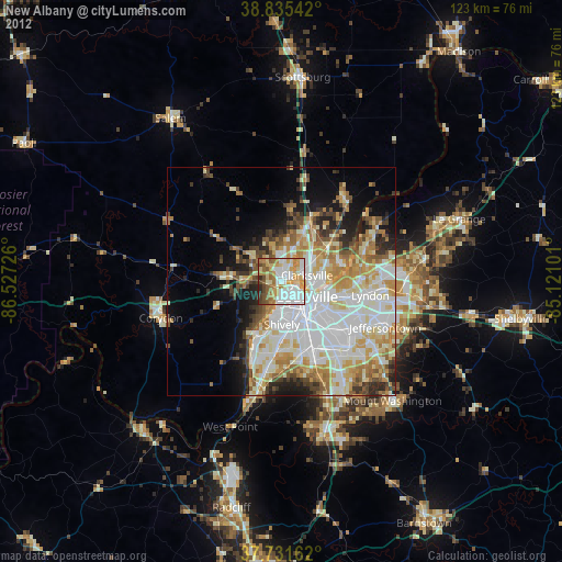
» Earth at Night: Flat Maps 2012, 2016