Clarksville night lights from space
Night Light of Clarksville (Indiana) from space (United States) Src. Average luminocity for 10x10km area is 92.3469% and for 50x50km: 43.4254%.
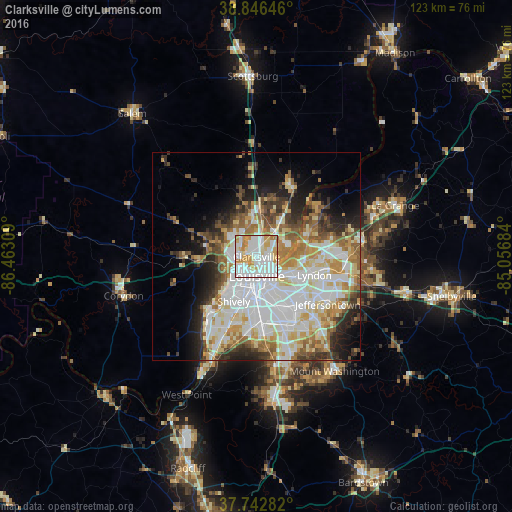
Analysis of Clarksville night lights 2016
Square area 10x10 km:
 34.86%
90-99
35.54%80-89
10.54%70-79
15.31%60-69
3.74%50-59
0%40-49
0%30-39
0%20-29
0%10-19
0%0-9
0%Square area 50x50 km:
12.41%90-99
10.5%80-89
5.95%70-79
5.04%60-69
5.42%50-59
4.32%40-49
3.86%30-39
4.1%20-29
5.6%10-19
7.69%0-9
35.09%Clear (daylight) street map image can be seen on geolist.org.
Map coordinates:
38° 50' 47.3" North, 86° 27' 47.1" West
38° 17' 48.3" North, 85° 45' 35.9" West
37° 44' 34.2" North, 85° 3' 24.6" West
Some cities around Clarksville sort by population:
• Louisville
4.7 km =2.9 mi,  179°
179°
• Jeffersonville
2.9 km =1.8 mi,  136°
136°
• New Albany
5.7 km =3.5 mi,  257°
257°
• Saint Matthews
10.3 km =6.4 mi,  118°
118°
• Shively
12.1 km =7.5 mi,  207°
207°
• Saint Dennis
14.2 km =8.8 mi, 211°
• Sellersburg
11.3 km =7 mi,  2°
2°
• Oak Park
5.6 km =3.5 mi,  79°
79°
4255836 (p: 21,866)
Sources (retrieved 2019-11-25):
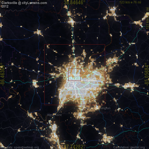
» Earth at Night: Flat Maps 2012, 2016