Navarre night lights from space
Night Light of Navarre (Florida) from space (United States) Src. Average luminocity for 10x10km area is 38.9945% and for 50x50km: 12.1304%.
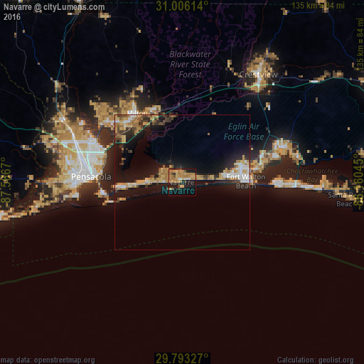
Analysis of Navarre night lights 2016
Square area 10x10 km:
 0.55%
0.55%90-99
3.11%80-89
5.86%70-79
11.17%60-69
18.5%50-59
1.1%40-49
4.03%30-39
2.01%20-29
9.34%10-19
28.57%0-9
15.75%Square area 50x50 km:
1.15%90-99
1.31%80-89
2.24%70-79
1.79%60-69
2.8%50-59
0.7%40-49
1.48%30-39
1.56%20-29
3%10-19
11.45%0-9
72.5%Clear (daylight) street map image can be seen on geolist.org.
Map coordinates:
31° 0' 22.1" North, 87° 34' 0.1" West
30° 24' 5.7" North, 86° 51' 48.9" West
29° 47' 35.8" North, 86° 9' 37.6" West
Some cities around Navarre sort by population:
• East Pensacola Heights
30.5 km =19 mi,  275°
275°
• Wright
22.4 km =13.9 mi,  74°
74°
• Fort Walton Beach
23.7 km =14.7 mi,  84°
84°
• Midway
13.6 km =8.5 mi,  272°
272°
• East Milton
28.2 km =17.5 mi,  327°
327°
• Lake Lorraine
28.9 km =18 mi, 81°
• Gulf Breeze
29.2 km =18.1 mi,  260°
260°
• Ocean City
24.4 km =15.2 mi, 79°
4165637 (p: 31,378)
Sources (retrieved 2019-11-25):
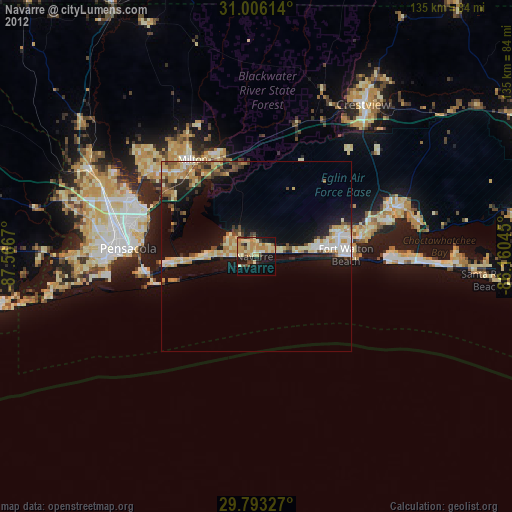
» Earth at Night: Flat Maps 2012, 2016