East Pensacola Heights night lights from space
Night Light of East Pensacola Heights (Florida) from space (United States) Src. Average luminocity for 10x10km area is 55.4725% and for 50x50km: 30.5834%.
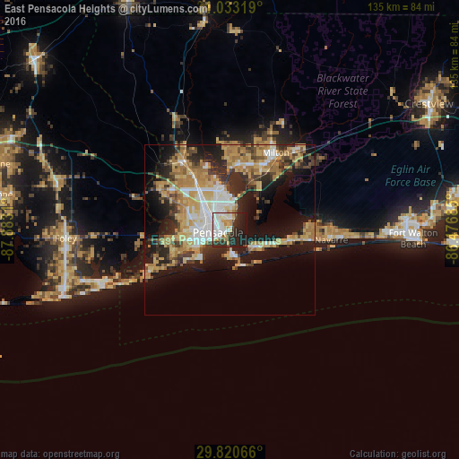

Analysis of East Pensacola Heights night lights 2016
Square area 10x10 km:
 17.22%
90-99
14.1%80-89
5.86%70-79
7.51%60-69
1.28%50-59
1.47%40-49
4.58%30-39
8.06%20-29
19.05%10-19
20.7%0-9
0.18%Square area 50x50 km:
4.46%90-99
4.46%80-89
5.65%70-79
5.73%60-69
6.05%50-59
2.07%40-49
3.43%30-39
4.65%20-29
7.42%10-19
14.74%0-9
41.34%Clear (daylight) street map image can be seen on geolist.org.
Map coordinates:
31° 1' 59.5" North, 87° 52' 59.2" West
30° 25' 43.7" North, 87° 10' 47.9" West
29° 49' 14.4" North, 86° 28' 36.7" West
Some cities around East Pensacola Heights sort by population:
• Pensacola
3.6 km =2.2 mi,  256°
256°
• Ferry Pass
9.6 km =6 mi,  341°
341°
• Bellview
13.4 km =8.3 mi,  285°
285°
• Brent
7 km =4.3 mi,  309°
309°
• West Pensacola
9.6 km =6 mi,  268°
268°
• Myrtle Grove
12.3 km =7.6 mi, 265°
• Warrington
10.4 km =6.5 mi,  241°
241°
• Gulf Breeze
8.1 km =5 mi,  169°
169°
4154047 (p: 54,104)
Sources (retrieved 2019-11-25):
» NASA, Earths city lights 1995
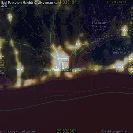
» NASA city lights 2003
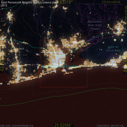
» Earth at Night: Flat Maps 2012, 2016