Fort Walton Beach night lights from space
Night Light of Fort Walton Beach (Florida) from space (United States) Src. Average luminocity for 10x10km area is 65.7436% and for 50x50km: 12.5615%.
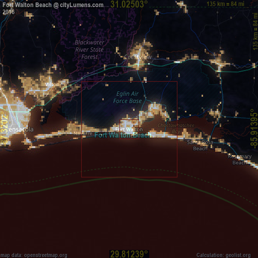
Analysis of Fort Walton Beach night lights 2016
Square area 10x10 km:
 20.33%
90-99
17.03%80-89
9.89%70-79
5.13%60-69
9.16%50-59
2.56%40-49
3.85%30-39
6.23%20-29
17.22%10-19
8.61%0-9
0%Square area 50x50 km:
1.8%90-99
1.62%80-89
1.89%70-79
1.94%60-69
2.33%50-59
0.47%40-49
0.99%30-39
1.11%20-29
4.66%10-19
12.38%0-9
70.81%Clear (daylight) street map image can be seen on geolist.org.
Map coordinates:
31° 1' 30.1" North, 87° 19' 12.7" West
30° 25' 14.1" North, 86° 37' 1.5" West
29° 48' 44.6" North, 85° 54' 50.2" West
Some cities around Fort Walton Beach sort by population:
• Navarre
23.7 km =14.7 mi,  264°
264°
• Wright
4.4 km =2.7 mi,  332°
332°
• Niceville
16.8 km =10.4 mi,  50°
50°
• Destin
12 km =7.5 mi,  104°
104°
• Lake Lorraine
5.5 km =3.4 mi,  64°
64°
• Eglin Village
8.8 km =5.5 mi, 57°
• Ocean City
2.3 km =1.4 mi,  8°
8°
• Valparaiso
14.7 km =9.1 mi, 48°
4156042 (p: 21,817)
Sources (retrieved 2019-11-25):
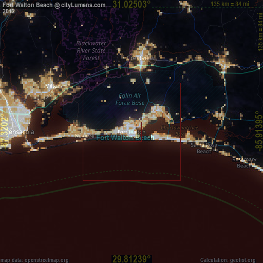
» Earth at Night: Flat Maps 2012, 2016