Brentwood Estates night lights from space
Night Light of Brentwood Estates (Tennessee) from space (United States) Src. Average luminocity for 10x10km area is 79.5128% and for 50x50km: 52.016%.
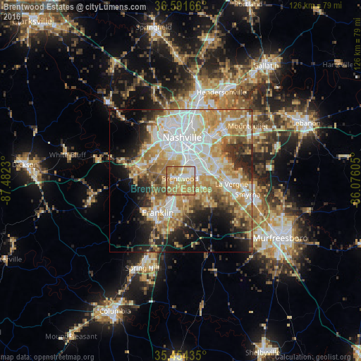
Analysis of Brentwood Estates night lights 2016
Square area 10x10 km:
 12.82%
90-99
13%80-89
18.68%70-79
25.27%60-69
29.12%50-59
0.73%40-49
0.37%30-39
0%20-29
0%10-19
0%0-9
0%Square area 50x50 km:
11.33%90-99
10.35%80-89
9.37%70-79
9.34%60-69
9.28%50-59
4.99%40-49
3.75%30-39
5.16%20-29
7.3%10-19
8.51%0-9
20.62%Clear (daylight) street map image can be seen on geolist.org.
Map coordinates:
36° 35' 30" North, 87° 28' 56.3" West
36° 1' 30.2" North, 86° 46' 45" West
35° 27' 15.7" North, 86° 4' 33.8" West
Some cities around Brentwood Estates sort by population:
• Nashville
15.7 km =9.8 mi,  358°
358°
• Franklin
13.7 km =8.5 mi,  215°
215°
• Smyrna
23.9 km =14.9 mi,  101°
101°
• La Vergne
17.8 km =11.1 mi,  93°
93°
• Mount Juliet
30.4 km =18.9 mi,  50°
50°
• Nolensville
12.8 km =8 mi,  129°
129°
• Green Hill
30.2 km =18.8 mi,  43°
43°
• Forest Hills
7.6 km =4.7 mi,  309°
309°
4608418 (p: 31,279)
Sources (retrieved 2019-11-25):
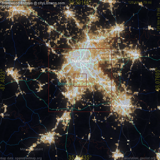
» Earth at Night: Flat Maps 2012, 2016