Smyrna night lights from space
Night Light of Smyrna (Tennessee) from space (United States) Src. Average luminocity for 10x10km area is 81.4194% and for 50x50km: 48.5243%.
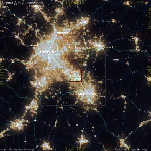
Analysis of Smyrna night lights 2016
Square area 10x10 km:
 20.51%
90-99
20.33%80-89
15.93%70-79
19.41%60-69
11.9%50-59
6.04%40-49
2.01%30-39
2.2%20-29
1.65%10-19
0%0-9
0%Square area 50x50 km:
10.08%90-99
8.79%80-89
8.71%70-79
8.1%60-69
7.24%50-59
5.38%40-49
5.59%30-39
6.85%20-29
8.62%10-19
9.37%0-9
21.27%Clear (daylight) street map image can be seen on geolist.org.
Map coordinates:
36° 32' 59.1" North, 87° 13' 18.2" West
35° 58' 58.2" North, 86° 31' 7" West
35° 24' 42.6" North, 85° 48' 55.7" West
Some cities around Smyrna sort by population:
• Murfreesboro
19.1 km =11.9 mi,  142°
142°
• Brentwood
24.4 km =15.2 mi,  283°
283°
• La Vergne
6.8 km =4.2 mi,  302°
302°
• Mount Juliet
24.2 km =15 mi,  359°
359°
• Brentwood Estates
23.9 km =14.9 mi, 281°
• Nolensville
14 km =8.7 mi,  255°
255°
• Green Hill
26.8 km =16.7 mi,  354°
354°
• Forest Hills
30.8 km =19.1 mi,  287°
287°
4658590 (p: 46,607)
Sources (retrieved 2019-11-25):
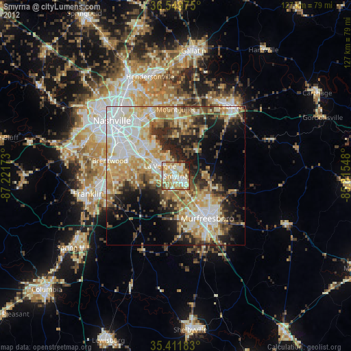
» Earth at Night: Flat Maps 2012, 2016